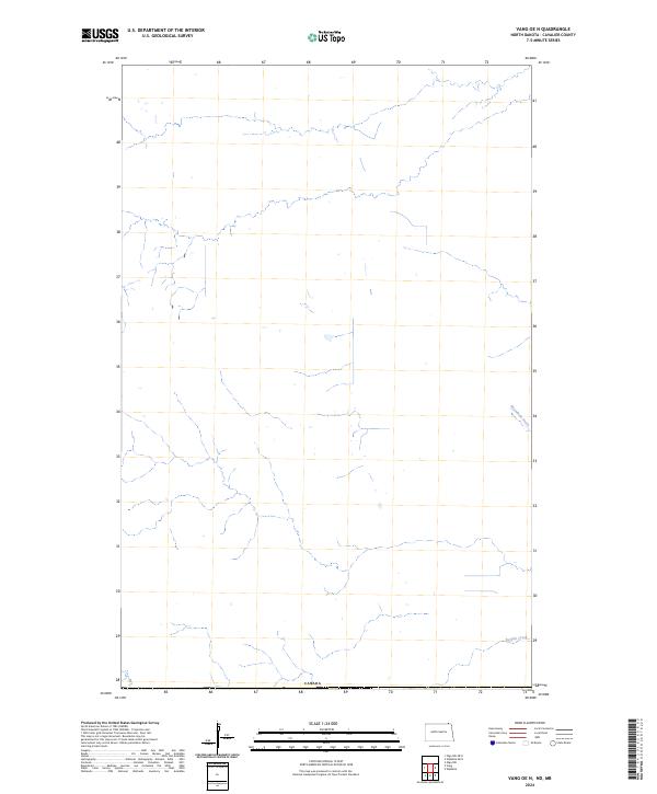
2024 Map of Vang OE N
USGS Topo · Published 2024About this map
The international boundary with Canada defines the northern edge of this North Dakota landscape in T.164n. R.58w.. Characterized by the open, agricultural expanses of Cavalier County, the terrain is marked by essential water management and drainage systems typical of the Red River Valley region. Buffalo Creek winds through the southern portion of the quadrangle, while the Rosenheim Drain directs water flow across the eastern plains. These features highlight the ongoing intersection of natural hydrology and human efforts to manage the fertile land for production near the border in the early 2020s.
Find a feature on this map
4 named features on this map. Tap any name to fly to it.
Don’t see what you’re looking for? This feature index may not catch every label — zoom into the map to look around manually.
Map Details
Editions of this 2024 Vang OE N Map
This is the sole edition of this map. No revisions or reprints were ever made.
Other maps of this area

1918 · Walhalla
USGS Topo · 1:62,500

1943 · Walhalla
USGS Topo · 1:62,500

1952 · Thief River Falls
USGS Topo · 1:250,000

1953 · Devils Lake
USGS Topo · 1:250,000

1956 · Thief River Falls
USGS Topo · 1:250,000

1956 · Devils Lake
USGS Topo · 1:250,000

1957 · Thief River Falls
USGS Topo · 1:250,000

1964 · Walhalla
USGS Topo · 1:24,000

1967 · Thief River Falls
USGS Topo · 1:250,000

1969 · Olga NW
USGS Topo · 1:24,000