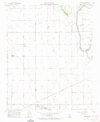
1956 Map of Vanguard
USGS Topo · Published 1971About this map
The Fresno Co Kings Co boundary cuts through this agricultural landscape in the mid-1950s, a region defined by complex irrigation systems and early aviation infrastructure. The Lemoore Air Field occupies a significant footprint in the southern portion of the sheet, while the Southern Pacific railroad tracks provide the primary industrial artery for the small settlement of Vanguard. Water management is the central theme of the terrain, visible in the winding courses of the North Fork Kings River and Clarks Fork Kings River, and the extensive network of ditches like the South Branch Summit Lake Ditch. Named farmsteads such as Barlow Ranch and Polder Ranch, along with a local Labor Camp, highlight the human geography of the San Joaquin Valley’s mid-century ranching and farming operations. Local education is anchored by the San Jose Sch near the Laguna de Tache district.
Find a feature on this map
34 named features on this map. Tap any name to fly to it.
Don’t see what you’re looking for? This feature index may not catch every label — zoom into the map to look around manually.
Map Details
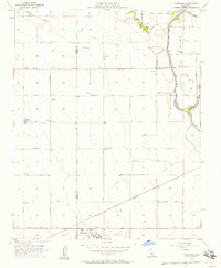
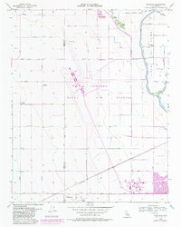
Editions of this 1956 Vanguard Map
3 editions found
Other maps of this area

1912 · Coalinga
USGS Topo · 1:125,000

1924 · Riverdale
USGS Topo · 1:31,680

1926 · Lethent
USGS Topo · 1:31,680

1927 · Burrel
USGS Topo · 1:31,680

1927 · Riverdale
USGS Topo · 1:31,680

1927 · Lemoore
USGS Topo · 1:31,680

1929 · Stratford
USGS Topo · 1:31,680

1929 · Westhaven
USGS Topo · 1:31,680

1931 · Wheatville
USGS Topo · 1:31,680

1932 · West of Lethent
USGS Topo · 1:31,680