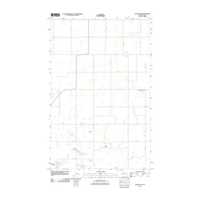
2011 Map of Vanville NE
USGS Topo · Published 2011About this map
Vanville sits at the southwestern edge of this Burke County landscape, where the prairie begins to break into the subtle rises of Ward Hill and Little Butte. The area is defined by a glacial pothole terrain, dotted with numerous small water bodies including Martin Lakes, Eckert Lake, and Jensen Lake. This 2011 survey reflects the enduring section-line road network of the High Plains, with a precise grid of numeric routes like 84th St NW and 75th Ave NW providing access to the agricultural parcels. To the northeast, the terrain is cut by Big Spring Coulee, a significant drainage feature that contrasts with the scattered wetlands found throughout the central and western portions of the quadrangle.
Find a feature on this map
22 named features on this map. Tap any name to fly to it.
Don’t see what you’re looking for? This feature index may not catch every label — zoom into the map to look around manually.
Map Details
Editions of this 2011 Vanville NE Map
This is the sole edition of this map. No revisions or reprints were ever made.
Other maps of this area

1947 · Bowbells
USGS Topo · 1:24,000

1948 · Coteau
USGS Topo · 1:24,000

1948 · Woburn
USGS Topo · 1:24,000

1948 · Vanville NE
USGS Topo · 1:24,000

1949 · Mosquito Butte
USGS Topo · 1:24,000

1949 · Bowbells
USGS Topo · 1:24,000

1949 · Niobe
USGS Topo · 1:24,000

1950 · Vanville NE
USGS Topo · 1:24,000

1950 · Bowbells
USGS Topo · 1:62,500

1950 · Kenmare
USGS Topo · 1:62,500