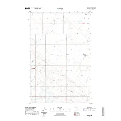
2020 Map of Vanville NE
USGS Topo · Published 2020About this map
Little Butte Cem and the distinctive landmark of Little Butte serve as focal points in this section of Burke County. The landscape is defined by the prairie drainage system of the Drift Prairie, where seasonal waterways like Niobe Coulee, Ankenbauer Coulee, and Big Spring Coulee carve through the terrain. The area is dotted with numerous small prairie potholes and wetlands, including Eckert Lake and the Martin Lakes. A strict section-line road grid, including Co Rd 16 and numerous numbered streets, organizes the agricultural space around elevations such as Ward Hill. This modern survey reflects the enduring rural character and sparse settlement patterns of northwestern North Dakota.
Find a feature on this map
22 named features on this map. Tap any name to fly to it.
Don’t see what you’re looking for? This feature index may not catch every label — zoom into the map to look around manually.
Map Details
Editions of this 2020 Vanville NE Map
This is the sole edition of this map. No revisions or reprints were ever made.
Other maps of this area

1947 · Bowbells
USGS Topo · 1:24,000

1948 · Coteau
USGS Topo · 1:24,000

1948 · Woburn
USGS Topo · 1:24,000

1948 · Vanville NE
USGS Topo · 1:24,000

1949 · Mosquito Butte
USGS Topo · 1:24,000

1949 · Bowbells
USGS Topo · 1:24,000

1949 · Niobe
USGS Topo · 1:24,000

1950 · Vanville NE
USGS Topo · 1:24,000

1950 · Bowbells
USGS Topo · 1:62,500

1950 · Kenmare
USGS Topo · 1:62,500