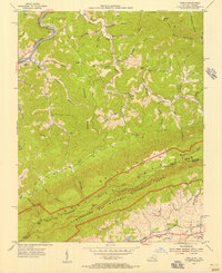
1954 Map of Varilla
USGS Topo · Published 1956About this map
The Cumberland River and the Louisville and Nashville railroad tracks cut through the northern corner of this Bell County landscape, anchoring the settlements of Varilla and Page. To the south, the terrain rises sharply toward the Cumberland Gap National Historical Park, where the ridge-and-valley topography of Brush Mountain and Hances Ridge dominates the map. This mid-century survey illustrates the rural infrastructure of the Kentucky and Virginia borderlands, documenting small community hubs like Cubage and Oaks. Genealogists will find several family and community burial sites, including Miracle Cem, Greene Cem, and Barnett Cem. Educational and religious life is marked by the presence of Cabbage Sch and Oakdale Ch, while the industrial footprint of the region is evidenced by a mine near Bailey Hill.
Find a feature on this map
64 named features on this map. Tap any name to fly to it.
Don’t see what you’re looking for? This feature index may not catch every label — zoom into the map to look around manually.
Map Details
Editions of this 1954 Varilla Map
2 editions found
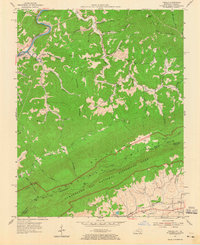
Other maps of this area

1886 · Cumberland Gap
USGS Topo · 1:125,000

1887 · Jonesville
USGS Topo · 1:125,000

1888 · Cumberland Gap
USGS Topo · 1:125,000

1891 · Cumberland Gap
USGS Topo · 1:125,000

1891 · Jonesville
USGS Topo · 1:125,000

1903 · Harlan
USGS Topo · 1:48,000

1903 · Pineville
USGS Topo · 1:48,000

1903 · Middlesboro
USGS Topo · 1:48,000

1916 · Harlan
USGS Topo · 1:48,000

1919 · Harlan
USGS Topo · 1:62,500