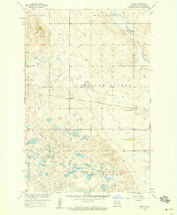
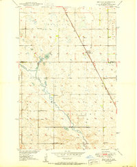
1958 Map of Vashti
USGS Topo · Published 1959About this map
Vashti sits at the heart of this prairie landscape, serving as a focal point along the Northern Pacific railroad line. The terrain is defined by the broad Pipestem Valley, where the meandering Pipestem Creek flows toward the southeast. This 1950s survey captures a rural Stutsman County landscape organized by the Rectangular Survey System, dotted with numerous small wetlands and prairie potholes typical of the region. The map highlights localized topographical regions such as Glacier, Walters, Paris, and the prominent Round Top. Educational history is preserved here with the inclusion of Foothills Sch No 1, reflecting the township-based school system of the era. The northwestern corner is marked by the Brush Hills and Brush Lake, illustrating the varied glacial geography that shaped this portion of North Dakota.
Find a feature on this map
15 named features on this map. Tap any name to fly to it.
Don’t see what you’re looking for? This feature index may not catch every label — zoom into the map to look around manually.
Map Details
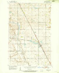
Editions of this 1958 Vashti Map
2 editions found

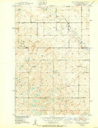
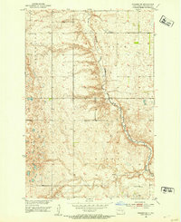
Other maps of this area
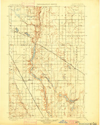
1900 · Pingree
USGS Topo · 1:125,000
1900 · Pingree
USGS Topo · 1:62,500
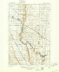
1948 · Carrington
USGS Topo · 1:62,500
1950 · Melville
USGS Topo · 1:24,000
1950 · Carrington SW
USGS Topo · 1:24,000
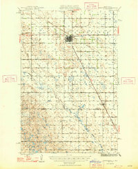
1951 · Pingree
USGS Topo · 1:24,000

1951 · Bordulac SW
USGS Topo · 1:24,000
1952 · Pingree SW
USGS Topo · 1:24,000

1952 · New Rockford
USGS Topo · 1:250,000

1956 · New Rockford
USGS Topo · 1:250,000