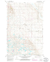
1958 Map of Vashti
USGS Topo · Published 1986About this map
The settlement of Vashti sits at the heart of this prairie landscape, serving as a focal point along the Burlington Northern railroad line. This 1950s survey of Stutsman County reveals a terrain defined by the broad Pipestem Valley and the winding course of Pipestem Creek. The map provides a detailed view of the local topography, from the Brush Hills and Paris heights in the south to the Walters region in the north, punctuated by numerous small depressions and ponds characteristic of the Missouri River Basin's glaciated plains.
Find a feature on this map
16 named features on this map. Tap any name to fly to it.
Don’t see what you’re looking for? This feature index may not catch every label — zoom into the map to look around manually.
Map Details
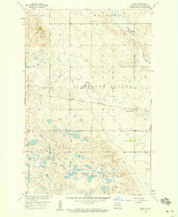
Editions of this 1958 Vashti Map
2 editions found
Other maps of this area

1900 · Pingree
USGS Topo · 1:125,000

1900 · Pingree
USGS Topo · 1:62,500

1948 · Carrington
USGS Topo · 1:62,500

1950 · Melville
USGS Topo · 1:24,000

1950 · Carrington SW
USGS Topo · 1:24,000

1951 · Pingree
USGS Topo · 1:24,000

1951 · Bordulac SW
USGS Topo · 1:24,000

1952 · Pingree SW
USGS Topo · 1:24,000

1952 · New Rockford
USGS Topo · 1:250,000

1956 · New Rockford
USGS Topo · 1:250,000