
1893 Map of Vassalboro
USGS Topo · Published 1893About this map
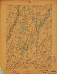
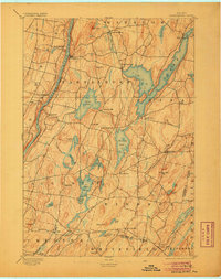
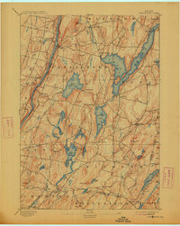
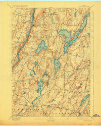
China Lake dominates the eastern half of this Kennebec County landscape, which was surveyed by Jennings in 1891. The area's mid-nineteenth-century industrial legacy is visible in the numerous mill settlements scattered throughout, including North Vassalboro, Seaward Mills, and Weeks Mills along the Sheepscot River. The western edge of the region is defined by the Kennebec River, where the Maine Central R. R. follows the riverbank past Vassalboro and Riverside. This topographical study reveals an economy tied closely to its water bodies and high ground, where hills like Bolton Hill and Cook Hill overlook a network of smaller ponds such as Togus Pond and Weber Pond. The map also clearly delineates civil boundaries, including the Kennebec Co Lincoln Co Boundary Line and several township divisions including Windsor and China.
Find a feature on this map
58 named features on this map. Tap any name to fly to it.
Don’t see what you’re looking for? This feature index may not catch every label — zoom into the map to look around manually.
Map Details
Editions of this 1893 Vassalboro Map
5 editions found
Other maps of this area

1892 · Gardiner
USGS Topo · 1:62,500

1892 · Waterville
USGS Topo · 1:62,500

1892 · Augusta
USGS Topo · 1:62,500

1893 · Wiscasset
USGS Topo · 1:62,500

1894 · Norridgewock
USGS Topo · 1:62,500

1898 · Norridgewock
USGS Topo · 1:62,500

1898 · Vassalboro
USGS Topo · 1:62,500

1913 · Waldoboro
USGS Topo · 1:48,000

1915 · Waldoboro
USGS Topo · 1:62,500

1916 · Liberty
USGS Topo · 1:62,500