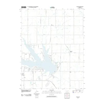
2010 Map of Vassar
USGS Topo · Published 2010About this map
Pomona Lake dominates this Osage County landscape, a reservoir formed by the Pomona Dam on the Hundred and Ten Mile Creek. The surrounding area is defined by a grid of rural roads and small creek valleys, including Wolf Creek and Appanoose Creek. The small community of Michigan Valley sits on the eastern edge of the reservoir, while Vassar is positioned near the southwestern shores, featuring a localized street grid with Main St and Front St. For those tracing local families, the map identifies several well-spaced burial grounds such as Valley Brook Cemetery, Mount Zion Cemetery, and Pleasant Ridge Cemetery. The transition from agrarian land to lakefront residential development is evident in the cluster of roads near the water like S Shore Dr and Lakesider.
Find a feature on this map
49 named features on this map. Tap any name to fly to it.
Don’t see what you’re looking for? This feature index may not catch every label — zoom into the map to look around manually.
Map Details
Editions of this 2010 Vassar Map
This is the sole edition of this map. No revisions or reprints were ever made.
Other maps of this area

1885 · Lawrence
USGS Topo · 1:125,000

1889 · Burlingame
USGS Topo · 1:125,000

1889 · Lawrence
USGS Topo · 1:125,000

1894 · Burlingame
USGS Topo · 1:125,000

1947 · Lawrence
USGS Topo · 1:250,000

1950 · Lawrence
USGS Topo · 1:250,000

1955 · Overbrook
USGS Topo · 1:24,000

1955 · Carbondale
USGS Topo · 1:24,000

1955 · Globe
USGS Topo · 1:24,000

1956 · Pomona
USGS Topo · 1:24,000