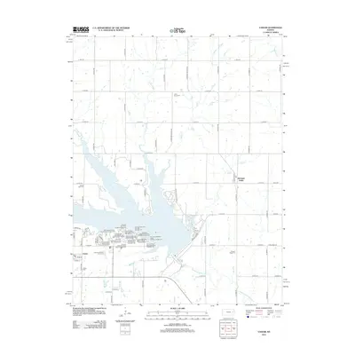
2012 Map of Vassar
USGS Topo · Published 2012About this map
Pomona Lake dominates the central landscape of this Osage County region, surrounded by an extensive network of recreation areas and campgrounds. The eastern shore is home to the Michigan Valley community, while the southwestern corner features the settlement of Vassar, complete with its own local Vassar Cemetery and a post office. The map illustrates a developed lakeside economy, including the Lamont Hill Resort Golf Course and the Lighthouse Bay Marina.
Find a feature on this map
66 named features on this map. Tap any name to fly to it.
Don’t see what you’re looking for? This feature index may not catch every label — zoom into the map to look around manually.
Map Details
Editions of this 2012 Vassar Map
This is the sole edition of this map. No revisions or reprints were ever made.
Other maps of this area

1885 · Lawrence
USGS Topo · 1:125,000

1889 · Burlingame
USGS Topo · 1:125,000

1889 · Lawrence
USGS Topo · 1:125,000

1894 · Burlingame
USGS Topo · 1:125,000

1947 · Lawrence
USGS Topo · 1:250,000

1950 · Lawrence
USGS Topo · 1:250,000

1955 · Overbrook
USGS Topo · 1:24,000

1955 · Carbondale
USGS Topo · 1:24,000

1955 · Globe
USGS Topo · 1:24,000

1956 · Pomona
USGS Topo · 1:24,000