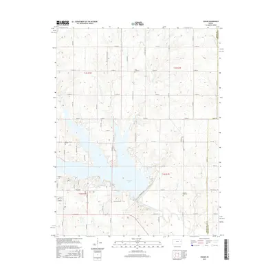
2015 Map of Vassar
USGS Topo · Published 2015About this map
Pomona Lake dominates this Osage County landscape, its irregular shoreline creating a complex geography of peninsulas and inlets. The settlement of Vassar serves as a primary focal point south of the water, where a grid of local roads like Vassar Dr and Kraft Dr meet the agricultural hinterland. The map provides significant detail for genealogists, identifying four distinct burial grounds including Valley Brook Cem, Mount Zion Cem, Pleasant Ridge Cem, and Vassar Cem.
Find a feature on this map
57 named features on this map. Tap any name to fly to it.
Don’t see what you’re looking for? This feature index may not catch every label — zoom into the map to look around manually.
Map Details
Editions of this 2015 Vassar Map
This is the sole edition of this map. No revisions or reprints were ever made.
Other maps of this area

1885 · Lawrence
USGS Topo · 1:125,000

1889 · Burlingame
USGS Topo · 1:125,000

1889 · Lawrence
USGS Topo · 1:125,000

1894 · Burlingame
USGS Topo · 1:125,000

1947 · Lawrence
USGS Topo · 1:250,000

1950 · Lawrence
USGS Topo · 1:250,000

1955 · Overbrook
USGS Topo · 1:24,000

1955 · Carbondale
USGS Topo · 1:24,000

1955 · Globe
USGS Topo · 1:24,000

1956 · Pomona
USGS Topo · 1:24,000