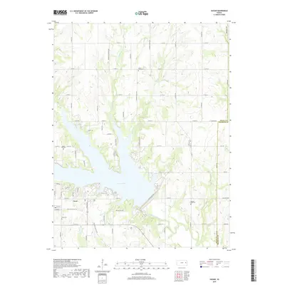
2018 Map of Vassar
USGS Topo · Published 2018About this map
Pomona Lake dominates the central landscape of this modern Osage County survey, where the sprawling reservoir meets several significant tributary systems. The settlement of Vassar sits south of the lake's edge, serving as a focal point for local residency and lake access. This area preserves a high density of early burial grounds, providing a clear map of rural family history through sites like Valley Brook Cem, Mount Zion Cem, and Vassar Cem. The water system is particularly detailed, tracing the winding paths of Wolf Creek and the historically named Hundred and Ten Mile Cr as they feed into the larger reservoir. Further north, Pleasant Ridge Cem marks the transition into the agricultural uplands, where the grid-like road network of S Shawnee Heights Rd and S Stubbs Rd defines the prairie layout.
Find a feature on this map
56 named features on this map. Tap any name to fly to it.
Don’t see what you’re looking for? This feature index may not catch every label — zoom into the map to look around manually.
Map Details
Editions of this 2018 Vassar Map
This is the sole edition of this map. No revisions or reprints were ever made.
Other maps of this area
1885 · Lawrence
USGS Topo · 1:125,000
1889 · Burlingame
USGS Topo · 1:125,000
1889 · Lawrence
USGS Topo · 1:125,000
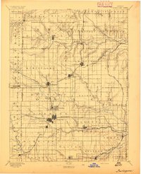
1894 · Burlingame
USGS Topo · 1:125,000
1947 · Lawrence
USGS Topo · 1:250,000
1950 · Lawrence
USGS Topo · 1:250,000
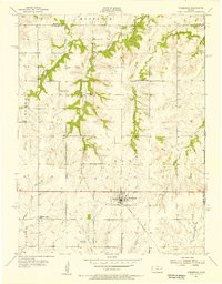
1955 · Overbrook
USGS Topo · 1:24,000
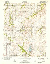
1955 · Carbondale
USGS Topo · 1:24,000
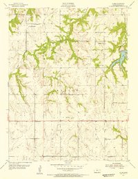
1955 · Globe
USGS Topo · 1:24,000
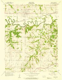
1956 · Pomona
USGS Topo · 1:24,000