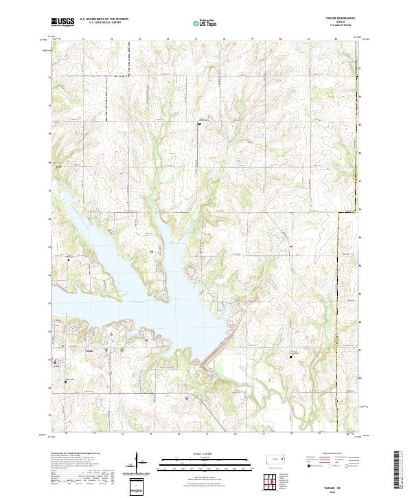
2022 Map of Vassar
USGS Topo · Published 2022About this map
Vassar serves as the primary settlement in this portion of Osage County, situated just south of the expansive waters of Pomona Lake. The landscape is defined by the convergence of several waterways, including Hundred and Ten Mile Creek, Wolf Creek, and Valley Brook, which feed into the reservoir system. This modern survey illustrates the contemporary road network, such as Vassar Dr and S Pomona Dam Rd, while preserving the locations of long-standing community landmarks. Genealogists and local historians can find several burial grounds documented, including Vassar Cem, Valley Brook Cem, and Pleasant Ridge Cem. The transition from agrarian land to managed water resources is evident in the jagged shoreline of the lake, which has fundamentally reshaped the drainage patterns of historic tributaries like Plummer Creek and Coon Cr.
Find a feature on this map
56 named features on this map. Tap any name to fly to it.
Don’t see what you’re looking for? This feature index may not catch every label — zoom into the map to look around manually.
Map Details
Editions of this 2022 Vassar Map
This is the sole edition of this map. No revisions or reprints were ever made.
Other maps of this area

1885 · Lawrence
USGS Topo · 1:125,000

1889 · Burlingame
USGS Topo · 1:125,000

1889 · Lawrence
USGS Topo · 1:125,000

1894 · Burlingame
USGS Topo · 1:125,000

1947 · Lawrence
USGS Topo · 1:250,000

1950 · Lawrence
USGS Topo · 1:250,000

1955 · Overbrook
USGS Topo · 1:24,000

1955 · Carbondale
USGS Topo · 1:24,000

1955 · Globe
USGS Topo · 1:24,000

1956 · Pomona
USGS Topo · 1:24,000