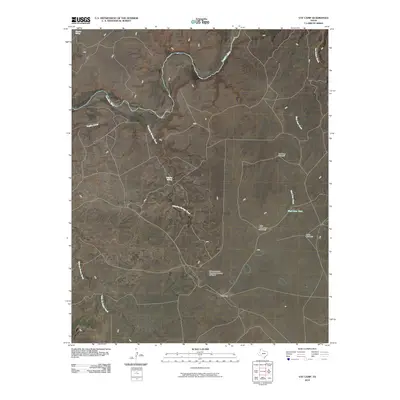
2010 Map of Vat Camp
USGS Topo · Published 2010About this map
Canadian River winds through the northern reaches of this Oldham County landscape, defining a terrain dominated by ranching infrastructure and intermittent watercourses. The presence of the Coleman Cattle Company Number 2 Airport and the eponymous Vat Camp settlement highlights the region's specialized agricultural character during the early 21st century. Named water sources such as Charvez Spring and Dripping Springs are critical landmarks in this arid environment, often serving as the primary identifiers for local geography.
Find a feature on this map
14 named features on this map. Tap any name to fly to it.
Don’t see what you’re looking for? This feature index may not catch every label — zoom into the map to look around manually.
Map Details
Editions of this 2010 Vat Camp Map
This is the sole edition of this map. No revisions or reprints were ever made.
Other maps of this area

1954 · Tucumcari
USGS Topo · 1:250,000

1958 · Tucumcari
USGS Topo · 1:250,000

1966 · Signal Spring
USGS Topo · 1:24,000

1966 · Adrian
USGS Topo · 1:24,000

1966 · Signal Spring SE
USGS Topo · 1:24,000

1966 · Big George Tank
USGS Topo · 1:24,000

1966 · Vat Camp
USGS Topo · 1:24,000

1966 · Trujillo Camp
USGS Topo · 1:24,000

1971 · Romero SE
USGS Topo · 1:24,000

1971 · Knoblaw
USGS Topo · 1:24,000