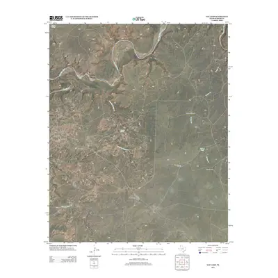
2012 Map of Vat Camp
USGS Topo · Published 2012About this map
The Canadian River cuts through the northern reaches of this Oldham County landscape, anchoring a network of ephemeral creeks and vital watering points. In a region where water management is central to the cattle industry, numerous named landmarks such as the High Lonesome Windmill, West Dam Windmill, and Louis Windmill appear alongside larger catchments like the W Dam Tank. This 2012 survey illustrates the modern ranching infrastructure of the Texas Panhandle, including the namesake Vat Camp and the Coleman Cattle Company Nr 2 Airport. The terrain is further defined by natural water sources such as Charvez Spring, Dripping Springs, and the drainage of Trujillo Cr. These features, along with Agua de Piedra Cr and Las Arches Cr, highlight the historical and ongoing reliance on specific geographic points for livestock and aviation in this sparsely populated territory.
Find a feature on this map
14 named features on this map. Tap any name to fly to it.
Don’t see what you’re looking for? This feature index may not catch every label — zoom into the map to look around manually.
Map Details
Editions of this 2012 Vat Camp Map
This is the sole edition of this map. No revisions or reprints were ever made.
Other maps of this area

1954 · Tucumcari
USGS Topo · 1:250,000

1958 · Tucumcari
USGS Topo · 1:250,000

1966 · Signal Spring
USGS Topo · 1:24,000

1966 · Adrian
USGS Topo · 1:24,000

1966 · Signal Spring SE
USGS Topo · 1:24,000

1966 · Big George Tank
USGS Topo · 1:24,000

1966 · Vat Camp
USGS Topo · 1:24,000

1966 · Trujillo Camp
USGS Topo · 1:24,000

1971 · Romero SE
USGS Topo · 1:24,000

1971 · Knoblaw
USGS Topo · 1:24,000