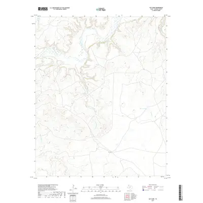
2019 Map of Vat Camp
USGS Topo · Published 2019About this map
The Canadian River meanders across the northern reaches of this Oldham County landscape, defining the topography of the High Plains. This region is characterized by significant water features that support the local ranching environment, including the named site of Vat Camp located in the southern portion of the quadrangle. Drainages like Trujillo Cr and Agua de Piedra Cr carve through the terrain, leading toward the river basin and creating a network of seasonal waterways.
Find a feature on this map
12 named features on this map. Tap any name to fly to it.
Don’t see what you’re looking for? This feature index may not catch every label — zoom into the map to look around manually.
Map Details
Editions of this 2019 Vat Camp Map
This is the sole edition of this map. No revisions or reprints were ever made.
Other maps of this area

1954 · Tucumcari
USGS Topo · 1:250,000

1958 · Tucumcari
USGS Topo · 1:250,000

1966 · Signal Spring
USGS Topo · 1:24,000

1966 · Adrian
USGS Topo · 1:24,000

1966 · Signal Spring SE
USGS Topo · 1:24,000

1966 · Big George Tank
USGS Topo · 1:24,000

1966 · Vat Camp
USGS Topo · 1:24,000

1966 · Trujillo Camp
USGS Topo · 1:24,000

1971 · Romero SE
USGS Topo · 1:24,000

1971 · Knoblaw
USGS Topo · 1:24,000