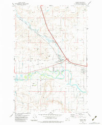
1983 Map of Vaughn
USGS Topo · Published 1983About this map
The winding Sun River and its accompanying Sun River Valley Ditch define the landscape around the settlement of Vaughn. Situated at the confluence where Muddy Creek joins the larger river, this area serves as a transport and irrigation hub. The Burlington Northern railroad dominates the valley floor, alongside an Old Railroad Grade that speaks to the shifting infrastructure of the region. Local activity centers on the Rodeo Ground and various industrial operations, including numerous gravel pits that dot the terrace levels. To the south, the terrain rises toward the prominent feature of Taft Hill, providing a stark contrast to the aquatic and engineering networks of the river valley. The presence of a Gaging Sta and Sewage Disposal Ponds indicates the developed nature of the waterway during the early 1980s.
Find a feature on this map
15 named features on this map. Tap any name to fly to it.
Don’t see what you’re looking for? This feature index may not catch every label — zoom into the map to look around manually.
Map Details
Editions of this 1983 Vaughn Map
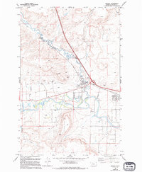
2 editions found
Other maps of this area

1886 · Great Falls
USGS Topo · 1:250,000

1949 · Cascade
USGS Topo · 1:62,500

1949 · Great Falls
USGS Topo · 1:62,500

1949 · Vaughn
USGS Topo · 1:62,500

1951 · Great Falls
USGS Topo · 1:62,500

1951 · Cascade
USGS Topo · 1:62,500

1952 · Vaughn
USGS Topo · 1:62,500

1954 · Great Falls
USGS Topo · 1:250,000

1955 · Gore Hill
USGS Topo · 1:62,500

1957 · Great Falls
USGS Topo · 1:250,000