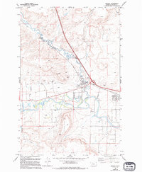
1983 Map of Vaughn
USGS Topo · Published 1994About this map
The settlement of Vaughn serves as a central hub in this landscape where the winding Muddy Creek joins the Sun River. This 1994 edition reveals a community defined by its irrigation infrastructure and agricultural roots, evidenced by the Sun River Valley Ditch and numerous Feedlot operations throughout the valley floor. To the south, Taft Hill rises above the river plain, while the local Rodeo Ground and a prominent Water Tank mark the social and utility centers of the township.
Find a feature on this map
20 named features on this map. Tap any name to fly to it.
Don’t see what you’re looking for? This feature index may not catch every label — zoom into the map to look around manually.
Map Details
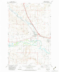
Editions of this 1983 Vaughn Map
2 editions found
Other maps of this area

1886 · Great Falls
USGS Topo · 1:250,000

1949 · Cascade
USGS Topo · 1:62,500

1949 · Great Falls
USGS Topo · 1:62,500

1949 · Vaughn
USGS Topo · 1:62,500

1951 · Great Falls
USGS Topo · 1:62,500

1951 · Cascade
USGS Topo · 1:62,500

1952 · Vaughn
USGS Topo · 1:62,500

1954 · Great Falls
USGS Topo · 1:250,000

1955 · Gore Hill
USGS Topo · 1:62,500

1957 · Great Falls
USGS Topo · 1:250,000