
1970 Map of Vealmoor
USGS Topo · Published 1973About this map
The settlement of Vealmoor straddles the county line between Borden and Howard counties, serving as a hub for the region's energy production in the early 1970s. The landscape is defined by the extensive Jo Mill Oil Field and Vealmoor Oil Field, where numerous wells and a network of Pipelines connect to infrastructure like the Pumping Sta. This industrial overlay is woven through a terrain marked by natural drainage such as Rattlesnake Creek and Wolf Creek, and a vast system of water management tanks like Long Hollow Tank and Six Section Tank.
Find a feature on this map
38 named features on this map. Tap any name to fly to it.
Don’t see what you’re looking for? This feature index may not catch every label — zoom into the map to look around manually.
Map Details
Editions of this 1970 Vealmoor Map
This is the sole edition of this map. No revisions or reprints were ever made.
Other maps of this area

1942 · Big Spring North
USGS Topo · 1:62,500

1954 · Big Spring
USGS Topo · 1:250,000

1958 · Big Spring
USGS Topo · 1:250,000

1966 · Knott
USGS Topo · 1:24,000

1966 · Knott NE
USGS Topo · 1:24,000

1970 · Mushaway Peak
USGS Topo · 1:24,000

1970 · Ackerly
USGS Topo · 1:24,000
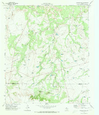
1970 · Gunsight Draw
USGS Topo · 1:24,000

1970 · Sand Creek
USGS Topo · 1:24,000
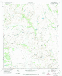
1970 · Long Draw
USGS Topo · 1:24,000