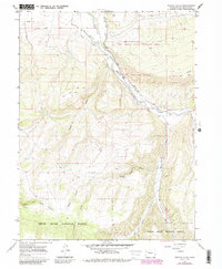
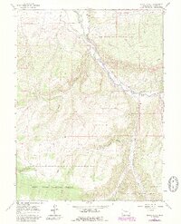
1966 Map of Veatch Gulch
USGS Topo · Published 1988About this map
The White River carves a deep valley through this Colorado landscape, acting as the primary artery for both the natural environment and local ranching interests. During the mid-1960s, the irrigation infrastructure was critical to this high-country terrain, evidenced by the Highland Ditch and other unnamed ditches that skirt the river's path to support grazing lands. This survey highlights the intersection of resource management and conservation, with the Oak Ridge State Wildlife Area covering the northern slopes and the White River National Forest extending across the southern reaches.
Find a feature on this map
22 named features on this map. Tap any name to fly to it.
Don’t see what you’re looking for? This feature index may not catch every label — zoom into the map to look around manually.
Map Details
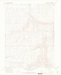
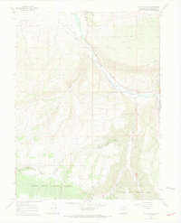
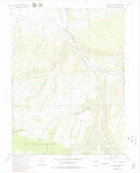
Editions of this 1966 Veatch Gulch Map
5 editions found
Other maps of this area

1906 · Grand Hogback
USGS Topo · 1:125,000

1910 · Danforth Hills
USGS Topo · 1:125,000

1910 · Grand Hogback
USGS Topo · 1:125,000

1912 · Meeker
USGS Topo · 1:62,500

1914 · Meeker
USGS Topo · 1:62,500

1954 · Craig
USGS Topo · 1:250,000

1957 · Craig
USGS Topo · 1:250,000

1957 · Leadville
USGS Topo · 1:250,000

1958 · Craig
USGS Topo · 1:250,000

1959 · Leadville
USGS Topo · 1:250,000