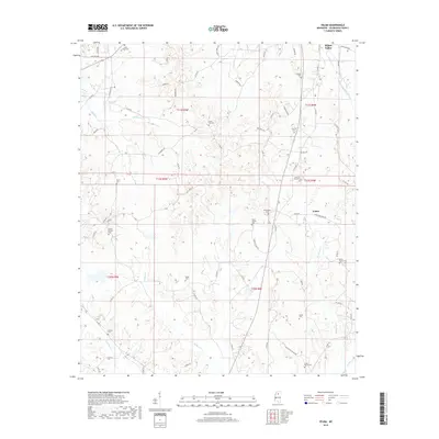
2018 Map of Velma
USGS Topo · Published 2018About this map
Water Valley sits at the northern edge of this Yalobusha County survey, where the town's southern neighborhoods transition into the rural Mississippi landscape. The settlement of Velma lies to the southeast, positioned at the intersection of Velma Crossing Rd and Velma Rd. This area is particularly rich in family and community burial sites, with over a dozen cemeteries scattered across the township lines. Noteworthy sites include Sylva Rena Cem in the northwest, Mount Gilead Cem along Mount Gilead Rd, and Johnson Cemeteries near the Velma community. The terrain is defined by a dense network of creek drainages, such as Durden Cr and Moreland Cr, which have shaped the winding paths of the local county road system, including the route of Old Water Valley Rd.
Find a feature on this map
78 named features on this map. Tap any name to fly to it.
Don’t see what you’re looking for? This feature index may not catch every label — zoom into the map to look around manually.
Map Details
Editions of this 2018 Velma Map
This is the sole edition of this map. No revisions or reprints were ever made.
Other maps of this area

1953 · West Point
USGS Topo · 1:250,000

1954 · Grenada
USGS Topo · 1:62,500

1954 · Oakland
USGS Topo · 1:62,500

1954 · Water Valley
USGS Topo · 1:62,500

1954 · Water Valley West
USGS Topo · 1:24,000

1955 · Water Valley
USGS Topo · 1:62,500

1955 · Coffeeville
USGS Topo · 1:62,500

1956 · Tupelo
USGS Topo · 1:250,000

1958 · Tupelo
USGS Topo · 1:250,000

1958 · West Point
USGS Topo · 1:250,000