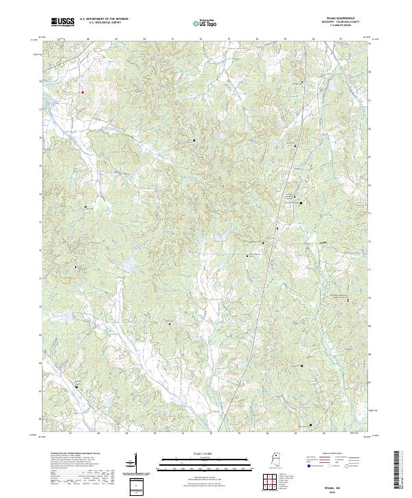
2024 Map of Velma
USGS Topo · Published 2024About this map
Velma serves as the central hub of this Yalobusha County landscape, where the intersection of Co Rd 90 and Velma Rd marks a historic rural crossroads. The area is characterized by a high density of family and community burial grounds, such as Gilmore Cem, Shiloh Cem, and Broadstreet Cem, which offer significant value for genealogical research into the region’s early families. The religious life of the community is anchored by the Rocky Mount Missionary Baptist Church, located south of the main settlement. The terrain is defined by a series of creeks, including Simpson Creek and Durden Creek, which feed into the larger hydrologic network of the Cypress Creek basin. The transition from older routes like Old Hwy 32 to the modern county road system illustrates the long-standing transportation patterns that have supported these Mississippi communities for generations.
Find a feature on this map
78 named features on this map. Tap any name to fly to it.
Don’t see what you’re looking for? This feature index may not catch every label — zoom into the map to look around manually.
Map Details
Editions of this 2024 Velma Map
This is the sole edition of this map. No revisions or reprints were ever made.
Other maps of this area

1953 · West Point
USGS Topo · 1:250,000

1954 · Grenada
USGS Topo · 1:62,500

1954 · Oakland
USGS Topo · 1:62,500

1954 · Water Valley
USGS Topo · 1:62,500

1954 · Water Valley West
USGS Topo · 1:24,000

1955 · Water Valley
USGS Topo · 1:62,500

1955 · Coffeeville
USGS Topo · 1:62,500

1956 · Tupelo
USGS Topo · 1:250,000

1958 · Tupelo
USGS Topo · 1:250,000

1958 · West Point
USGS Topo · 1:250,000