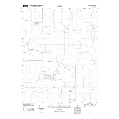
2010 Map of Velpen
USGS Topo · Published 2010About this map
The Patoka River meanders across this Dubois County landscape, defining the rural character of a region marked by small historic settlements. The community of Velpen sits in the northwest near the riverbanks, while smaller nodes like Pikeville, Duff, and Zoar anchor the surrounding agricultural grid. This 2010 survey highlights a significant concentration of family and community burial grounds, including the Risley Cemetery, Stillwell Cemetery, and Payne Cemetery, which serve as vital points of reference for local genealogical research.
Find a feature on this map
50 named features on this map. Tap any name to fly to it.
Don’t see what you’re looking for? This feature index may not catch every label — zoom into the map to look around manually.
Map Details
Editions of this 2010 Velpen Map
This is the sole edition of this map. No revisions or reprints were ever made.
Other maps of this area

1900 · St Meinrad
USGS Topo · 1:62,500

1900 · De Gonia Springs
USGS Topo · 1:62,500

1902 · Ditney
USGS Topo · 1:125,000

1902 · Degonia Springs
USGS Topo · 1:62,500

1903 · St. Meinrad
USGS Topo · 1:62,500

1903 · Velpen
USGS Topo · 1:62,500

1946 · Jasper
USGS Topo · 1:24,000

1954 · Huntingburg
USGS Topo · 1:24,000

1956 · Vincennes
USGS Topo · 1:250,000

1957 · Vincennes
USGS Topo · 1:250,000