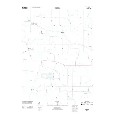
2013 Map of Velpen
USGS Topo · Published 2013About this map
Velpen and Millersport anchor the northern landscape of this Southern Indiana region, where the winding course of the Patoka River carves through the terrain. The area is characterized by a high concentration of small, named water bodies in the southwest, including Lake Helmerich, Lake Edward, and Lake William, suggesting a legacy of land reclamation or specialized water management near the settlement of Zoar.
Find a feature on this map
85 named features on this map. Tap any name to fly to it.
Don’t see what you’re looking for? This feature index may not catch every label — zoom into the map to look around manually.
Map Details
Editions of this 2013 Velpen Map
This is the sole edition of this map. No revisions or reprints were ever made.
Other maps of this area

1900 · St Meinrad
USGS Topo · 1:62,500

1900 · De Gonia Springs
USGS Topo · 1:62,500

1902 · Ditney
USGS Topo · 1:125,000

1902 · Degonia Springs
USGS Topo · 1:62,500

1903 · St. Meinrad
USGS Topo · 1:62,500

1903 · Velpen
USGS Topo · 1:62,500

1946 · Jasper
USGS Topo · 1:24,000

1954 · Huntingburg
USGS Topo · 1:24,000

1956 · Vincennes
USGS Topo · 1:250,000

1957 · Vincennes
USGS Topo · 1:250,000