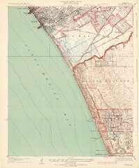
1934 Map of Venice
USGS Topo · Published 1934About this map
Santa Monica and Venice define the coastal character of this 1930s landscape, where urban expansion meets the wetlands of the Ballona Lagoon. The map reveals a transition from the dense street grids of Santa Monica to the industrial and academic anchors further south. Significant infrastructure, including the Standard Oil Co Refinery and the Motordrome, signals the region's early 20th-century economic drivers.
Find a feature on this map
39 named features on this map. Tap any name to fly to it.
Don’t see what you’re looking for? This feature index may not catch every label — zoom into the map to look around manually.
Map Details
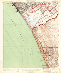
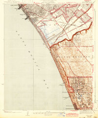
Editions of this 1934 Venice Map
3 editions found
Other maps of this area

1894 · Los Angeles
USGS Topo · 1:62,500

1896 · Redondo
USGS Topo · 1:62,500

1896 · Santa Monica
USGS Topo · 1:62,500

1898 · Santa Monica
USGS Topo · 1:62,500

1900 · Los Angeles
USGS Topo · 1:62,500

1901 · Southern California Sheet No. 1
USGS Topo · 1:250,000

1902 · Santa Monica
USGS Topo · 1:62,500

1903 · Calabasas
USGS Topo · 1:62,500

1903 · Camulos
USGS Topo · 1:125,000

1904 · Southern California Sheet No. 1
USGS Topo · 1:250,000