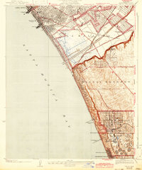
1934 Map of Venice
USGS Topo · Published 1942About this map
Santa Monica Bay defines this coastal landscape as it appeared in the early 1940s, revealing a shoreline dominated by leisure and heavy industry. The iconic Venice Pier and Ocean Park Pier stand as major landmarks along the beach, while the inland territory shows the growth of settlements like Culver Garden and Del Rey. A massive Standard Oil Co Refinery and its associated Standard Oil Co Pier in El Segundo anchor the southern portion of the sheet, illustrating the region's industrial foundation during this era.
Find a feature on this map
42 named features on this map. Tap any name to fly to it.
Don’t see what you’re looking for? This feature index may not catch every label — zoom into the map to look around manually.
Map Details
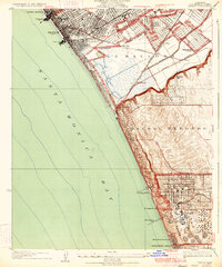
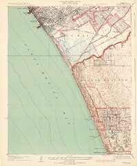
Editions of this 1934 Venice Map
3 editions found
Other maps of this area

1894 · Los Angeles
USGS Topo · 1:62,500

1896 · Redondo
USGS Topo · 1:62,500

1896 · Santa Monica
USGS Topo · 1:62,500

1898 · Santa Monica
USGS Topo · 1:62,500

1900 · Los Angeles
USGS Topo · 1:62,500

1901 · Southern California Sheet No. 1
USGS Topo · 1:250,000

1902 · Santa Monica
USGS Topo · 1:62,500

1903 · Calabasas
USGS Topo · 1:62,500

1903 · Camulos
USGS Topo · 1:125,000

1904 · Southern California Sheet No. 1
USGS Topo · 1:250,000