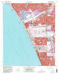
1964 Map of Venice
USGS Topo · Published 1982About this map
Marina Del Rey and the expansive Los Angeles International Airport anchor this coastal survey, reflecting the mid-century transformation of the Los Angeles shoreline. The map documents the intricate balance between suburban residential growth in Westchester and Playa del Rey and the heavy industrial presence of Oil Wells and Oil Reservoirs scattered near El Segundo. Educational and religious institutions are dense throughout, from Loyola University and Venice High Sch to local parish schools like St Anthony Sch.
Find a feature on this map
64 named features on this map. Tap any name to fly to it.
Don’t see what you’re looking for? This feature index may not catch every label — zoom into the map to look around manually.
Map Details
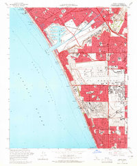
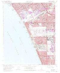
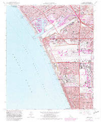
Editions of this 1964 Venice Map
4 editions found
Other maps of this area

1894 · Los Angeles
USGS Topo · 1:62,500

1896 · Redondo
USGS Topo · 1:62,500

1896 · Santa Monica
USGS Topo · 1:62,500

1898 · Santa Monica
USGS Topo · 1:62,500

1900 · Los Angeles
USGS Topo · 1:62,500

1901 · Southern California Sheet No. 1
USGS Topo · 1:250,000

1902 · Santa Monica
USGS Topo · 1:62,500

1903 · Calabasas
USGS Topo · 1:62,500

1903 · Camulos
USGS Topo · 1:125,000

1904 · Southern California Sheet No. 1
USGS Topo · 1:250,000