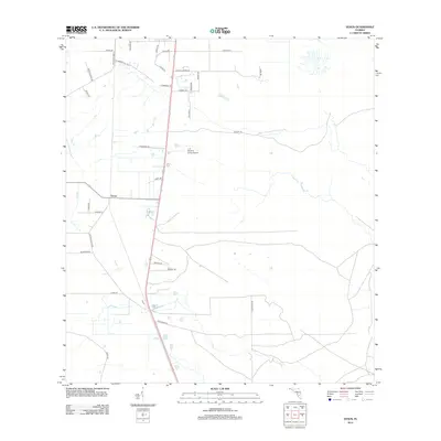
2012 Map of Venus
USGS Topo · Published 2012About this map
Venus serves as the central hub of this South Florida landscape, where a transition from local agricultural plots to larger citrus and cattle operations is evident. The mapping of Detiens Dairy Rd, Brahma Rd, and Ranch Rd underscores the long-standing importance of livestock and dairy farming in the region. Near the heart of the settlement, J. H. Hendrie Farms Airport provides a vital link for the agricultural industry. To the west, the winding path of Platt Br cuts through the terrain, while the north is defined by a grid of rural lanes like Blueberry Hill Rd and Old State Road 8. This 2012 survey by the U.S. Geological Survey documents the intersection of modern road infrastructure with the area's traditional rural character.
Find a feature on this map
30 named features on this map. Tap any name to fly to it.
Don’t see what you’re looking for? This feature index may not catch every label — zoom into the map to look around manually.
Map Details
Editions of this 2012 Venus Map
This is the sole edition of this map. No revisions or reprints were ever made.
Other maps of this area

1953 · Brighton NW
USGS Topo · 1:24,000

1953 · Brighton SW
USGS Topo · 1:24,000

1953 · Venus NW
USGS Topo · 1:24,000

1953 · Childs
USGS Topo · 1:24,000

1956 · West Palm Beach
USGS Topo · 1:250,000

1956 · Fort Pierce
USGS Topo · 1:250,000

1957 · West Palm Beach
USGS Topo · 1:250,000

1957 · Venus
USGS Topo · 1:24,000

1957 · Venus SW
USGS Topo · 1:24,000

1958 · Fort Pierce
USGS Topo · 1:250,000