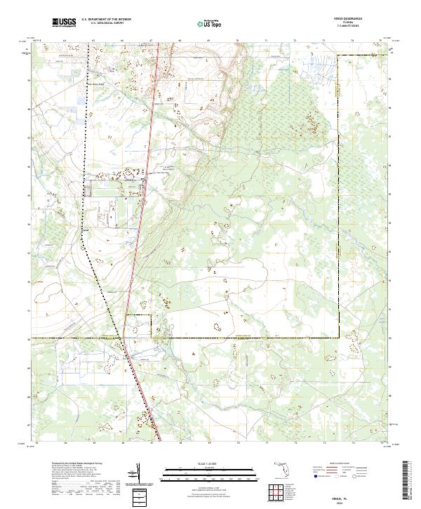
2024 Map of Venus
USGS Topo · Published 2024About this map
The unincorporated community of Venus serves as the central point for this landscape along the southern extent of the Lake Wales Ridge. This area, situated along the border of Highlands and Glades counties, is defined by its agricultural and ranching infrastructure, featuring an extensive network of local roads such as Detreux Dairy Rd and Placid Farms Dr. The terrain is marked by low-lying wetlands and drainage features including Platt Branch in the west and Gator Slough to the southeast. Aviation and large-scale land use are evident at the J H Hendrie Farms Airport, while family-named thoroughfares like Ben Hill Griffin Rd and Worley Rd indicate the importance of established local holdings. The map illustrates a contemporary rural Florida environment where sandy ridge elevations meet the hydrologic systems of the interior.
Find a feature on this map
40 named features on this map. Tap any name to fly to it.
Don’t see what you’re looking for? This feature index may not catch every label — zoom into the map to look around manually.
Map Details
Editions of this 2024 Venus Map
This is the sole edition of this map. No revisions or reprints were ever made.
Other maps of this area

1953 · Brighton NW
USGS Topo · 1:24,000

1953 · Brighton SW
USGS Topo · 1:24,000

1953 · Venus NW
USGS Topo · 1:24,000

1953 · Childs
USGS Topo · 1:24,000

1956 · West Palm Beach
USGS Topo · 1:250,000

1956 · Fort Pierce
USGS Topo · 1:250,000

1957 · West Palm Beach
USGS Topo · 1:250,000

1957 · Venus
USGS Topo · 1:24,000

1957 · Venus SW
USGS Topo · 1:24,000

1958 · Fort Pierce
USGS Topo · 1:250,000