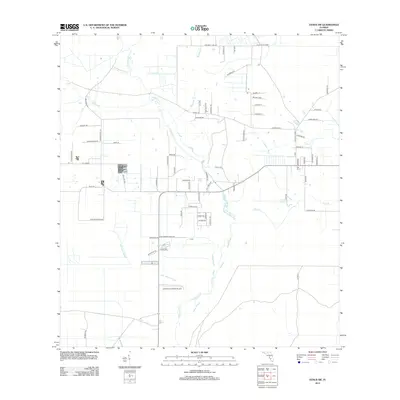
2012 Map of Venus SW
USGS Topo · Published 2012About this map
Fisheating Cr winds through this cattle-ranching landscape south of Old Venus, defining a region shaped by seasonal water and sprawling homesteads. The land is segmented by an extensive network of named lanes and grades, such as Lott Grade and Night Slue Grade, which navigate the low-lying wet areas typical of this part of Highlands County. The map shows a transition from structured cattle operations to more remote drainage features like Joe Slough and John Henry Slough. Modern utility meets rural isolation at the Last Chance Ranch Airport, a private landing strip situated among the pastures and sloughs. This 2012 survey illustrates how family-named roads like Bohanon Rd and Stokes Rd have formalized the historic paths across the Florida scrub and prairie.
Find a feature on this map
70 named features on this map. Tap any name to fly to it.
Don’t see what you’re looking for? This feature index may not catch every label — zoom into the map to look around manually.
Map Details
Editions of this 2012 Venus SW Map
This is the sole edition of this map. No revisions or reprints were ever made.
Other maps of this area

1953 · Venus NW
USGS Topo · 1:24,000

1953 · Childs
USGS Topo · 1:24,000

1956 · Telegraph Swamp NE
USGS Topo · 1:24,000

1956 · West Palm Beach
USGS Topo · 1:250,000

1956 · Fort Pierce
USGS Topo · 1:250,000

1957 · West Palm Beach
USGS Topo · 1:250,000

1957 · Long Island Marsh SE
USGS Topo · 1:24,000

1957 · Venus
USGS Topo · 1:24,000

1957 · Venus SW
USGS Topo · 1:24,000

1957 · Long Island Marsh NE
USGS Topo · 1:24,000