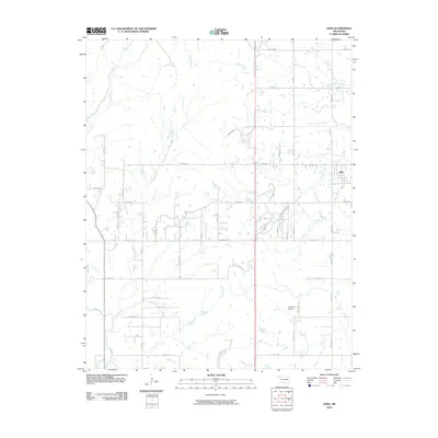
2010 Map of Vera
USGS Topo · Published 2010About this map
The town of Vera stands as the primary settlement in this part of Oklahoma, surrounded by a complex network of waterways that define the local drainage basin. This 2010 survey shows a landscape dominated by ranching and light aviation, centered on the Bluestem Airport and the private Dr To Star Lake Ranch. The terrain is etched by numerous streams, including the meandering Bird Creek, Horsepen Creek, and the uniquely named Nellie Bly Creek to the north. The road system is largely a grid of rural routes such as N 4000 Rd and E 156th St N, which facilitate movement across the agricultural lands. This map provides a detailed view of the rural infrastructure at the start of the decade, documenting the various creek-side crossings and the spatial relationship between the centralized village and outlying properties.
Find a feature on this map
40 named features on this map. Tap any name to fly to it.
Don’t see what you’re looking for? This feature index may not catch every label — zoom into the map to look around manually.
Map Details
Editions of this 2010 Vera Map
This is the sole edition of this map. No revisions or reprints were ever made.
Other maps of this area

1901 · Claremore
USGS Topo · 1:125,000

1901 · Nowata
USGS Topo · 1:125,000

1909 · Pawhuska
USGS Topo · 1:125,000

1910 · Pawhuska
USGS Topo · 1:125,000

1912 · Hominy
USGS Topo · 1:125,000

1914 · Nowata
USGS Topo · 1:125,000

1914 · Claremore
USGS Topo · 1:125,000

1915 · Hominy
USGS Topo · 1:125,000

1916 · Claremore
USGS Topo · 1:125,000

1954 · Tulsa
USGS Topo · 1:250,000