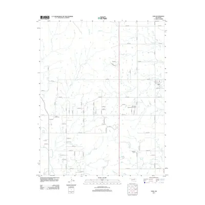
2012 Map of Vera
USGS Topo · Published 2012About this map
The town of Vera anchors this landscape, situated at a transition between rural residential development and the winding creek systems of northeastern Oklahoma. Water dominates the terrain, with Bird Cr and Skalall Cr carving pathways across the lower half of the survey, while Nellie Bly Cr and Bevan Cr drain the northern sections. This topography supported early aviation efforts in the region, evidenced by the presence of Sky Haven Airpark/Sellmeyer Field and the Bluestem Airport, both positioned on the level grounds away from the deeper creek bottoms.
Find a feature on this map
71 named features on this map. Tap any name to fly to it.
Don’t see what you’re looking for? This feature index may not catch every label — zoom into the map to look around manually.
Map Details
Editions of this 2012 Vera Map
This is the sole edition of this map. No revisions or reprints were ever made.
Other maps of this area

1901 · Claremore
USGS Topo · 1:125,000

1901 · Nowata
USGS Topo · 1:125,000

1909 · Pawhuska
USGS Topo · 1:125,000

1910 · Pawhuska
USGS Topo · 1:125,000

1912 · Hominy
USGS Topo · 1:125,000

1914 · Nowata
USGS Topo · 1:125,000

1914 · Claremore
USGS Topo · 1:125,000

1915 · Hominy
USGS Topo · 1:125,000

1916 · Claremore
USGS Topo · 1:125,000

1954 · Tulsa
USGS Topo · 1:250,000