
1892 Map of Verde
USGS Topo · Published 1892About this map
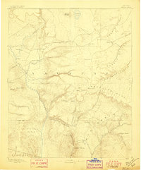
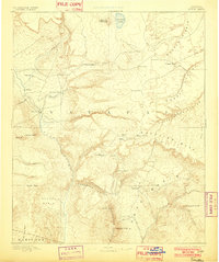
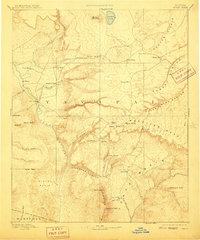
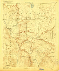
The Verde River serves as the central artery through this territorial-era landscape, where early Arizona settlements cling to the edges of the Mogollon Mesa. This 1885 survey captures the region when Fort Verde stood as a primary outpost and frontier communities like Strawberry, Pine, and Payson were nascent clusters of activity. The geography is defined by dramatic elevation changes, from the depths of Clear Creek Canyon to the heights of Baker Butte. Notable landmarks include Montezuma Well and the Natural Bridge, while smaller, practical sites like Potato Ranch and Chaves Pass indicate the early cattle and transit routes established before the turn of the century. The southern portion of the sheet is dominated by the Mazatzal Mountains, showcasing the isolation of the Bloody Basin and Deadmans Canyon during a period of rugged expansion.
Find a feature on this map
54 named features on this map. Tap any name to fly to it.
Don’t see what you’re looking for? This feature index may not catch every label — zoom into the map to look around manually.
Map Details
Editions of this 1892 Verde Map
5 editions found
Other maps of this area

1883 · Tusayan
USGS Topo · 1:250,000

1886 · Tusayan
USGS Topo · 1:250,000

1886 · San Francisco Mtns
USGS Topo · 1:250,000

1886 · Chino
USGS Topo · 1:250,000

1886 · Holbrook
USGS Topo · 1:250,000

1887 · Verde
USGS Topo · 1:250,000

1887 · Prescott
USGS Topo · 1:250,000

1891 · San Francisco Mtns
USGS Topo · 1:250,000

1891 · Chino
USGS Topo · 1:250,000

1892 · Prescott
USGS Topo · 1:250,000