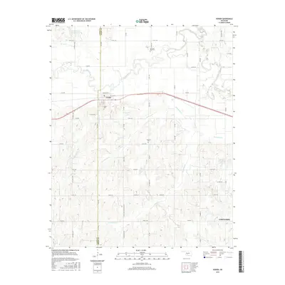
2016 Map of Verden
USGS Topo · Published 2016About this map
The Washita River meanders across the central landscape of this Oklahoma survey, defining the northern boundary of Verden where Railroad St and W Boundry St mark the town's grid. The area south of the river is a network of drainage systems, including County-Line Cr, Rock Hollow Cr, and Tony Hollow Cr, reflecting the complex hydrology of the region before it reaches the western outskirts of Chickasha. For genealogists, the map identifies several burial sites, such as Half Moon Ranch Cem to the north and the Plainview Cem near the center. The presence of Oilfield Rd and numerous reservoirs like Spring Cr Site 103 Reservoir indicates the intersection of agriculture, water management, and energy extraction that shaped the local economy in the early 21st century.
Find a feature on this map
35 named features on this map. Tap any name to fly to it.
Don’t see what you’re looking for? This feature index may not catch every label — zoom into the map to look around manually.
Map Details
Editions of this 2016 Verden Map
This is the sole edition of this map. No revisions or reprints were ever made.
Other maps of this area

1902 · Rush Springs
USGS Topo · 1:125,000

1904 · Chickasha
USGS Topo · 1:125,000

1945 · Anadarko
USGS Topo · 1:62,500

1949 · Cement
USGS Topo · 1:62,500

1949 · Rush Springs
USGS Topo · 1:62,500

1950 · Rush Springs
USGS Topo · 1:62,500

1954 · Oklahoma City
USGS Topo · 1:250,000

1955 · Lawton
USGS Topo · 1:250,000

1955 · Clinton
USGS Topo · 1:250,000

1956 · Laverty
USGS Topo · 1:24,000