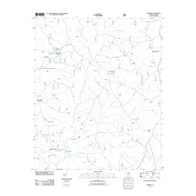
2011 Map of Verdery
USGS Topo · Published 2011About this map
Long Cane Creek meanders through this portion of the Piedmont, anchoring a landscape defined by small rural hubs and historical burial grounds. The settlement at Bradley Corner and the intersection at Clatworthy Crossroads serve as primary points of reference in an area heavily marked by family and community history, evidenced by the Lower Long Cane Cemetery, Chapel Cemetery, and Chisholm Cemetery.
Find a feature on this map
60 named features on this map. Tap any name to fly to it.
Don’t see what you’re looking for? This feature index may not catch every label — zoom into the map to look around manually.
Map Details
Editions of this 2011 Verdery Map
This is the sole edition of this map. No revisions or reprints were ever made.
Other maps of this area

1892 · Mc Cormick
USGS Topo · 1:125,000

1892 · Abbeville
USGS Topo · 1:125,000

1912 · Mc Cormick
USGS Topo · 1:125,000

1948 · Abbeville East
USGS Topo · 1:24,000

1948 · Verdery
USGS Topo · 1:24,000

1948 · Abbeville West
USGS Topo · 1:24,000

1949 · Abbeville
USGS Topo · 1:24,000

1949 · Calhoun Creek
USGS Topo · 1:24,000

1949 · Greenwood
USGS Topo · 1:24,000

1950 · Bradley
USGS Topo · 1:24,000
Featured Places
- Bradley Corner, SC
- Clatworthy Crossroads, SC
- Cedar Springs, SC
- Abbeville County, SC
- Greenwood County, SC