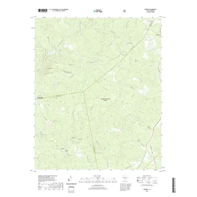
2020 Map of Verdery
USGS Topo · Published 2020About this map
Sumter National Forest dominates this landscape where Abbeville, McCormick, and Greenwood counties meet. The terrain is defined by a dense network of forest service roads and recreational paths, including the Long Cane Horse Trail S Lp and specialized routes like Parson's Mountain Ohv Trail. For genealogists, the map is particularly rich in family and community burial sites, from the Lyon-Lipford Cem in the north to Mount Pleasant Cem and Lower Long Cane Cem further south. Waterways such as Long Cane Creek and Reedy Br cut through the timberland, supporting landmarks like Four H Club Lake and the peak of Parsons Mtn. Small settlements and transit points like Verdery and Clatworthy Crossroads provide fixed anchors for tracing early twentieth-century land use and historical property boundaries in this rural South Carolina corridor.
Find a feature on this map
71 named features on this map. Tap any name to fly to it.
Don’t see what you’re looking for? This feature index may not catch every label — zoom into the map to look around manually.
Map Details
Editions of this 2020 Verdery Map
This is the sole edition of this map. No revisions or reprints were ever made.
Other maps of this area

1892 · Mc Cormick
USGS Topo · 1:125,000

1892 · Abbeville
USGS Topo · 1:125,000

1912 · Mc Cormick
USGS Topo · 1:125,000

1948 · Abbeville East
USGS Topo · 1:24,000

1948 · Verdery
USGS Topo · 1:24,000

1948 · Abbeville West
USGS Topo · 1:24,000

1949 · Abbeville
USGS Topo · 1:24,000

1949 · Calhoun Creek
USGS Topo · 1:24,000

1949 · Greenwood
USGS Topo · 1:24,000

1950 · Bradley
USGS Topo · 1:24,000
Featured Places
- Bradley Corner, SC
- Clatworthy Crossroads, SC
- Cedar Springs, SC
- Abbeville County, SC
- Greenwood County, SC