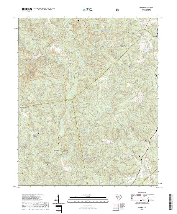
2024 Map of Verdery
USGS Topo · Published 2024About this map
Sumter National Forest dominates this South Carolina landscape, where the borders of Abbeville, Greenwood, and McCormick Counties meet. The area is defined by a dense network of tributaries including Long Cane Creek, Mountain Creek, and Rocky Creek, which have shaped the topography around Parsons Mtn and Laurel Hill. The settlement pattern is characterized by small rural hubs such as Bradley and Verdery, alongside historical crossroads like Clatworthy Crossroads. Genealogists will find a significant concentration of burial sites and religious landmarks, including the Glovers Chapel Church Graveyard, Lower Long Cane Church Graveyard, and Horeb Baptist Church Cem. These sites, tucked away near features like Big Bottom and Rambos Field, reflect the deep-rooted community history of the region. Forest roads and trails like the Long Cane Horse Trail South Lp Trl weave through the timberland, connecting these historical points of interest.
Find a feature on this map
63 named features on this map. Tap any name to fly to it.
Don’t see what you’re looking for? This feature index may not catch every label — zoom into the map to look around manually.
Map Details
Editions of this 2024 Verdery Map
This is the sole edition of this map. No revisions or reprints were ever made.
Other maps of this area

1892 · Mc Cormick
USGS Topo · 1:125,000

1892 · Abbeville
USGS Topo · 1:125,000

1912 · Mc Cormick
USGS Topo · 1:125,000

1948 · Abbeville East
USGS Topo · 1:24,000

1948 · Verdery
USGS Topo · 1:24,000

1948 · Abbeville West
USGS Topo · 1:24,000

1949 · Abbeville
USGS Topo · 1:24,000

1949 · Calhoun Creek
USGS Topo · 1:24,000

1949 · Greenwood
USGS Topo · 1:24,000

1950 · Bradley
USGS Topo · 1:24,000
Featured Places
- Bradley Corner, SC
- Clatworthy Crossroads, SC
- Cedar Springs, SC
- Abbeville County, SC
- Greenwood County, SC