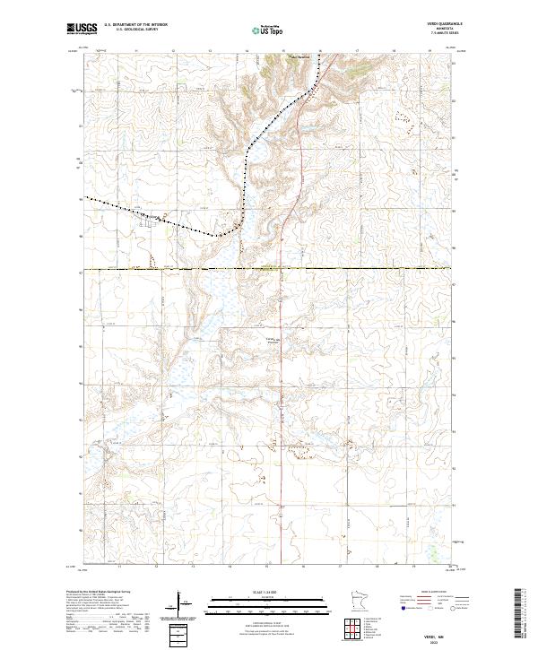
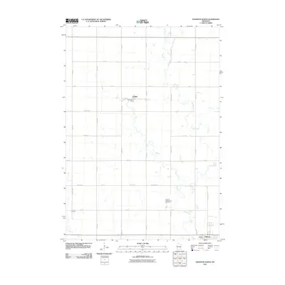
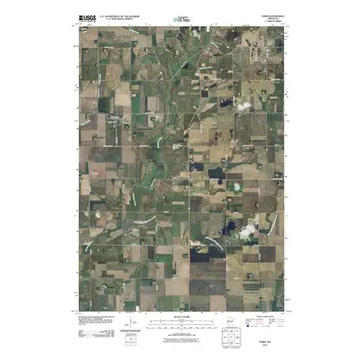
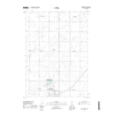
2022 Map of Verdi
USGS Topo · Published 2022About this map
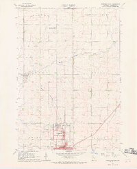
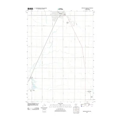
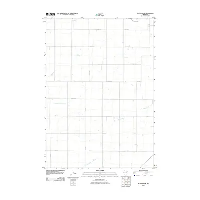
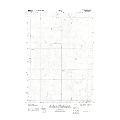
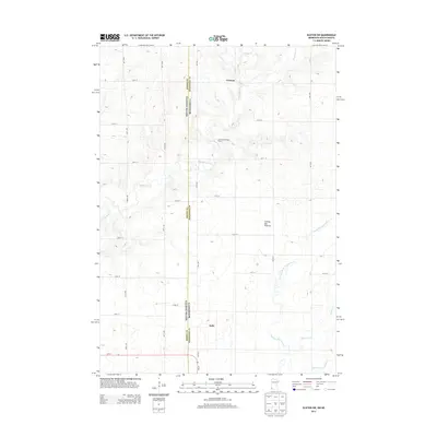
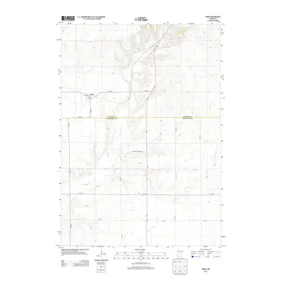
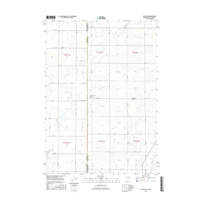
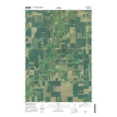
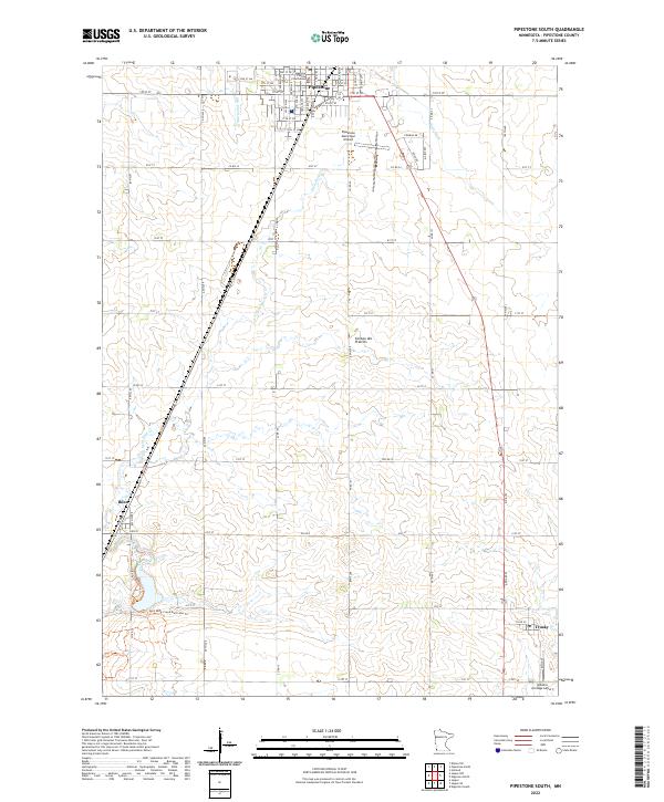
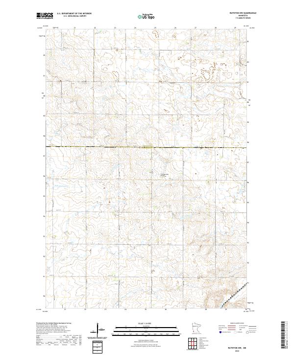
Coteau des Prairies, a prominent glacial upland, dominates the landscape of this southwestern Minnesota survey. The settlement of Verdi sits at the intersection of Co HWY 2 and Co RD 9, serving as a focal point for the surrounding agricultural townships. To the north, the terrain transitions toward Lake Benton, while the hydrology of the region is defined by the headwaters of Flandreau Cr and its tributary, E Br Flandreau Cr. The grid of county roads, including Co HWY 10 and Co RD 110, illustrates a highly organized rural land system characteristic of the late twentieth and early twenty-first centuries. These transport lines connect isolated farmsteads across the undulating heights of the coteau, providing a detailed view of the local drainage patterns into Willow Cr and the broader watershed near the state border.
Find a feature on this map
35 named features on this map. Tap any name to fly to it.
Don’t see what you’re looking for? This feature index may not catch every label — zoom into the map to look around manually.
Map Details
Editions of this 2022 Verdi Map
This is the sole edition of this map. No revisions or reprints were ever made.
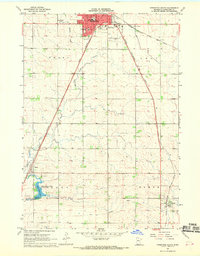
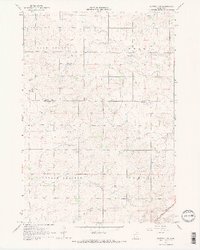
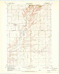
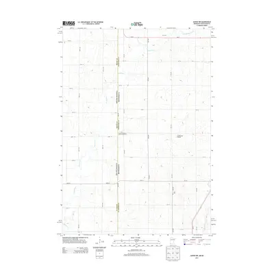
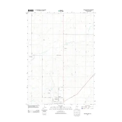
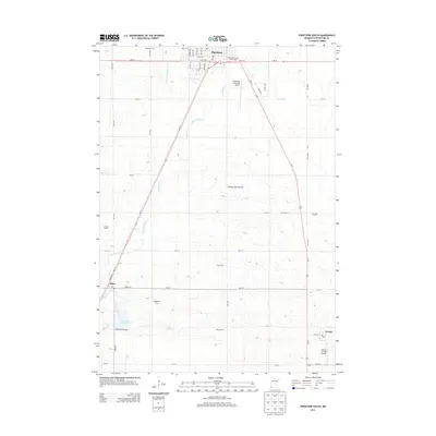
Historical Maps of Lake Benton Through Time
42 maps found
1967 Edgerton North
Pipestone County, MN
1967 Elkton SW
Pipestone County, MN
1967 Jasper NW
Pipestone County, MN
1967 Pipestone North
Pipestone County, MN
1967 Pipestone South
Pipestone County, MN
1967 Ruthton NW
Pipestone County, MN
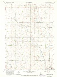
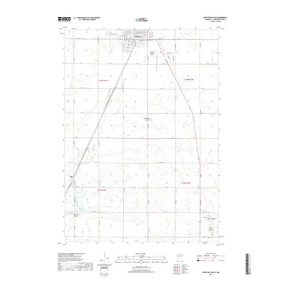
1967 Verdi
Pipestone County, MN
2010 Edgerton North
Pipestone County, MN
2010 Elkton SW
Pipestone County, MN
2010 Jasper NW
Pipestone County, MN
2010 Pipestone North
Pipestone County, MN
2010 Pipestone South
Pipestone County, MN
2010 Ruthton NW
Pipestone County, MN
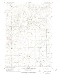
2010 Verdi
Pipestone County, MN
2013 Edgerton North
Pipestone County, MN
2013 Elkton SW
Pipestone County, MN
2013 Jasper NW
Pipestone County, MN
2013 Pipestone North
Pipestone County, MN
2013 Pipestone South
Pipestone County, MN
2013 Ruthton NW
Pipestone County, MN
2013 Verdi
Pipestone County, MN
2016 Edgerton North
Pipestone County, MN
2016 Elkton SW
Pipestone County, MN
2016 Jasper NW
Pipestone County, MN
2016 Pipestone North
Pipestone County, MN
2016 Pipestone South
Pipestone County, MN
2016 Ruthton NW
Pipestone County, MN
2016 Verdi
Pipestone County, MN
2019 Edgerton North
Pipestone County, MN
2019 Elkton SW
Pipestone County, MN
2019 Jasper NW
Pipestone County, MN
2019 Pipestone North
Pipestone County, MN
2019 Pipestone South
Pipestone County, MN
2019 Ruthton NW
Pipestone County, MN
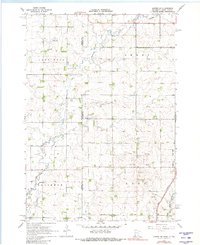
2019 Verdi
Pipestone County, MN
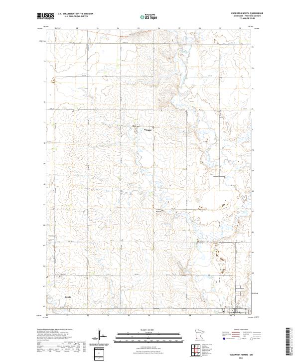
2022 Edgerton North
Pipestone County, MN
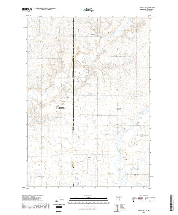
2022 Elkton SW
Pipestone County, MN
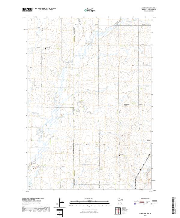
2022 Jasper NW
Pipestone County, MN
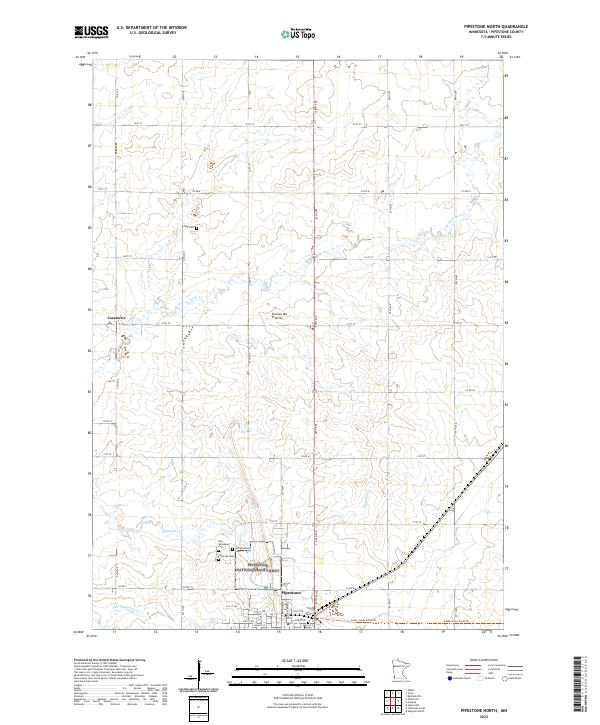
2022 Pipestone North
Pipestone County, MN
2022 Pipestone South
Pipestone County, MN
2022 Ruthton NW
Pipestone County, MN
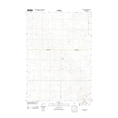
2022 Verdi
Pipestone County, MN