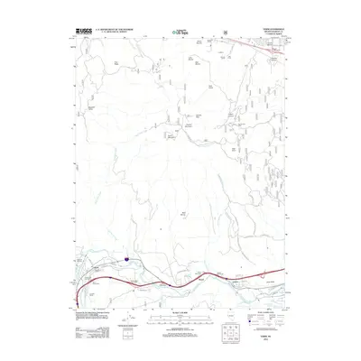
2012 Map of Verdi
USGS Topo · Published 2012About this map
The Truckee River carves through the southern portion of this landscape, defining the corridor for the region's primary transport and settlement. This 2012 survey captures a transition between the established ranching roots and modern residential growth west of Reno. Historic ranching operations like Gardella Ranch, Ferretto Ranch, and Anderson Ranch are still identified, preserving the names of the families who shaped this high-desert terrain.
Find a feature on this map
60 named features on this map. Tap any name to fly to it.
Don’t see what you’re looking for? This feature index may not catch every label — zoom into the map to look around manually.
Map Details
Editions of this 2012 Verdi Map
This is the sole edition of this map. No revisions or reprints were ever made.
Other maps of this area

1890 · Sierraville
USGS Topo · 1:125,000

1891 · Carson
USGS Topo · 1:125,000

1891 · Truckee
USGS Topo · 1:125,000

1891 · Reno
USGS Topo · 1:125,000

1892 · Sierraville
USGS Topo · 1:125,000

1893 · Carson
USGS Topo · 1:125,000

1893 · Truckee
USGS Topo · 1:125,000

1893 · Reno
USGS Topo · 1:125,000

1894 · Sierraville
USGS Topo · 1:125,000

1895 · Truckee
USGS Topo · 1:125,000