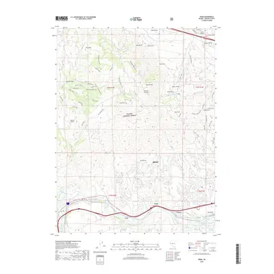
2018 Map of Verdi
USGS Topo · Published 2018About this map
Peavine Peak and Peavine Mountain anchor the high ground of the Toiyabe National Forest, overlooking a landscape where outdoor recreation and historic water infrastructure meet. The lower elevations are defined by the Truckee River corridor, which supports essential irrigation features like Steamboat Ditch, Coldron Ditch, and Lake Ditch. These waterways historically sustained the agricultural and early industrial needs of settlements like Verdi and Mogul.
Find a feature on this map
64 named features on this map. Tap any name to fly to it.
Don’t see what you’re looking for? This feature index may not catch every label — zoom into the map to look around manually.
Map Details
Editions of this 2018 Verdi Map
This is the sole edition of this map. No revisions or reprints were ever made.
Other maps of this area

1890 · Sierraville
USGS Topo · 1:125,000

1891 · Carson
USGS Topo · 1:125,000

1891 · Truckee
USGS Topo · 1:125,000

1891 · Reno
USGS Topo · 1:125,000

1892 · Sierraville
USGS Topo · 1:125,000

1893 · Carson
USGS Topo · 1:125,000

1893 · Truckee
USGS Topo · 1:125,000

1893 · Reno
USGS Topo · 1:125,000

1894 · Sierraville
USGS Topo · 1:125,000

1895 · Truckee
USGS Topo · 1:125,000