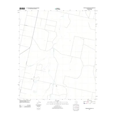
2012 Map of Verhalen South
USGS Topo · Published 2012About this map
Toyah Cr and Sandia Cr define the hydrological character of this Reeves County landscape, where seasonal drainage patterns are captured during the early 21st century. The map illustrates a transition from the structured grid of the western section to the winding natural courses of Cox Draw in the south-central portion. Human presence is marked by a network of rural thoroughfares, including Ranch Road 3334 and Ranch Road 2448, which serve as primary connectors through this arid terrain. A small pocket of development appears near the intersection of Co Rd-310 and E Main St, providing a look at localized infrastructure and land use in a region primarily defined by open range and ephemeral watercourses.
Find a feature on this map
8 named features on this map. Tap any name to fly to it.
Don’t see what you’re looking for? This feature index may not catch every label — zoom into the map to look around manually.
Map Details
Editions of this 2012 Verhalen South Map
This is the sole edition of this map. No revisions or reprints were ever made.
Other maps of this area

1894 · Fort Davis
USGS Topo · 1:125,000

1897 · Fort Davis
USGS Topo · 1:125,000

1921 · Toyah
USGS Topo · 1:125,000

1929 · Hovey
USGS Topo · 1:125,000

1931 · Barstow
USGS Topo · 1:125,000

1954 · Pecos
USGS Topo · 1:250,000

1954 · Fort Stockton
USGS Topo · 1:250,000

1955 · Saragosa
USGS Topo · 1:62,500

1957 · Pecos
USGS Topo · 1:250,000

1958 · Fort Stockton
USGS Topo · 1:250,000