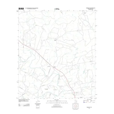
2013 Map of Verhelle
USGS Topo · Published 2013About this map
Verhelle and its surrounding countryside in DeWitt County are defined by a network of drainage basins and persistent energy extraction. The Guadalupe River meanders across the southern portion of the landscape, joined by tributaries such as Irish Cr, Oaxley Br, and Reeds Br. This area exhibits a distinct industrial and agricultural pattern, where numerous named oil fields, including the Verhelle Oil Field, Thomaston Oil Field, and Jennie Bell Oil Field, are interspersed with family-run landholdings and rural landmarks like Thomas Windmill. For researchers of local history, the map provides precise locations for several burial grounds, such as Burns Station Cem and the Ponteon San Isidro Labrador Cem, illustrating the settlement history of these small Texas communities before the mid-2010s.
Find a feature on this map
45 named features on this map. Tap any name to fly to it.
Don’t see what you’re looking for? This feature index may not catch every label — zoom into the map to look around manually.
Map Details
Editions of this 2013 Verhelle Map
This is the sole edition of this map. No revisions or reprints were ever made.
Other maps of this area

1953 · Beeville
USGS Topo · 1:250,000

1953 · Seguin
USGS Topo · 1:250,000

1956 · Beeville
USGS Topo · 1:250,000

1958 · Seguin
USGS Topo · 1:250,000

1960 · Beeville
USGS Topo · 1:250,000

1960 · Cuero
USGS Topo · 1:24,000

1960 · Concrete
USGS Topo · 1:24,000

1962 · Verhelle
USGS Topo · 1:24,000

1962 · Edgar
USGS Topo · 1:24,000

1962 · Terryville
USGS Topo · 1:24,000