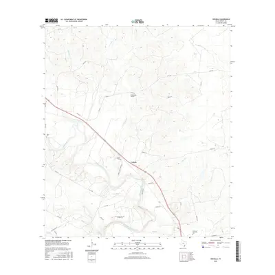
2016 Map of Verhelle
USGS Topo · Published 2016About this map
The Guadalupe River carves a serpentine path through this DeWitt County landscape, anchoring a network of creek drainages including Sandy Fork, Irish Cr, and Reeds Br. The small settlement of Verhelle sits near the center, marking a crossroads for local transport. This 2016 survey is particularly valuable for genealogical research, documenting several distinct burial sites such as Taylor Cem to the west and the Panteon San Isidro Labrador Cem near the riverbanks.
Find a feature on this map
42 named features on this map. Tap any name to fly to it.
Don’t see what you’re looking for? This feature index may not catch every label — zoom into the map to look around manually.
Map Details
Editions of this 2016 Verhelle Map
This is the sole edition of this map. No revisions or reprints were ever made.
Other maps of this area

1953 · Beeville
USGS Topo · 1:250,000

1953 · Seguin
USGS Topo · 1:250,000

1956 · Beeville
USGS Topo · 1:250,000

1958 · Seguin
USGS Topo · 1:250,000

1960 · Beeville
USGS Topo · 1:250,000

1960 · Cuero
USGS Topo · 1:24,000

1960 · Concrete
USGS Topo · 1:24,000

1962 · Verhelle
USGS Topo · 1:24,000

1962 · Edgar
USGS Topo · 1:24,000

1962 · Terryville
USGS Topo · 1:24,000