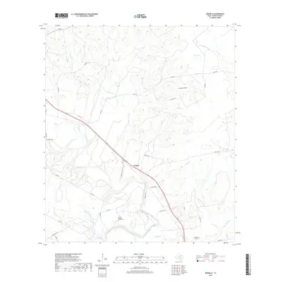
2019 Map of Verhelle
USGS Topo · Published 2019About this map
The Guadalupe River winds through the heart of this DeWitt County landscape, shaping a terrain defined by complex creek systems and rural landholdings. Near the small settlement of Verhelle, the topography transitions into notable features like Crittendon Hollow and a series of water bodies including Berry Pond and Flag Pond. The map reveals a high concentration of burial sites that speak to the area’s genealogy and community history, from the Thomaston Community Cem to the Panteon San Isidro Labrador Cem. This network of local history is further evidenced by family-named infrastructure such as Burns Station Cemetery Rd and Redies Rd, illustrating how early ranching and farming tracks became the modern road network. Numerous drainage systems, such as Sandy Fork and Irish Cr, crisscross the region, highlighting the importance of water management in this part of Texas.
Find a feature on this map
41 named features on this map. Tap any name to fly to it.
Don’t see what you’re looking for? This feature index may not catch every label — zoom into the map to look around manually.
Map Details
Editions of this 2019 Verhelle Map
This is the sole edition of this map. No revisions or reprints were ever made.
Other maps of this area

1953 · Beeville
USGS Topo · 1:250,000

1953 · Seguin
USGS Topo · 1:250,000

1956 · Beeville
USGS Topo · 1:250,000

1958 · Seguin
USGS Topo · 1:250,000

1960 · Beeville
USGS Topo · 1:250,000

1960 · Cuero
USGS Topo · 1:24,000

1960 · Concrete
USGS Topo · 1:24,000

1962 · Verhelle
USGS Topo · 1:24,000

1962 · Edgar
USGS Topo · 1:24,000

1962 · Terryville
USGS Topo · 1:24,000