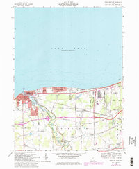
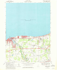
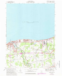
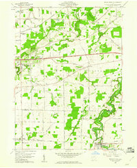
1969 Map of Vermilion East
USGS Topo · Published 1979About this map
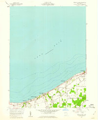
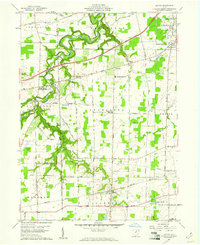
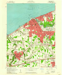
The Vermilion River carves a deep valley through the center of this coastal Ohio landscape, separating the residential expansions of Vermilion from the rural townships to the east. By the late 1960s, the shoreline along Lake Erie shows significant development, including the community of Vermilion-on-the-Lake and Elberta Beach. This era captures the transition of the region's transportation network, as the Norfolk and Western and Conrail lines parallel the coast while modern highways begin to bypass the older village centers.
Find a feature on this map
54 named features on this map. Tap any name to fly to it.
Don’t see what you’re looking for? This feature index may not catch every label — zoom into the map to look around manually.
Map Details
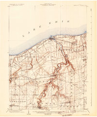
Editions of this 1969 Vermilion East Map
Other maps of this area

1901 · Oberlin
USGS Topo · 1:62,500
1903 · Vermilion
USGS Topo · 1:62,500

1903 · Oberlin
USGS Topo · 1:62,500

1956 · Toledo
USGS Topo · 1:250,000
1959 · Berlin Heights
USGS Topo · 1:24,000

1959 · Vermilion East
USGS Topo · 1:24,000
1959 · Vermilion West
USGS Topo · 1:24,000
1959 · Kipton
USGS Topo · 1:24,000
1960 · Oberlin
USGS Topo · 1:24,000
1960 · Lorain
USGS Topo · 1:24,000