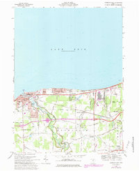
1969 Map of Vermilion East
USGS Topo · Published 1979About this map
The southern shoreline of Lake Erie defines this 1969 topographic portrait, where the Vermilion River carves a deep, winding path toward the lake. The city of Vermilion serves as a primary hub, featuring civic landmarks like the Marine Museum and Court House. Moving east, the landscape transitions into the lakeside communities of Elberta Beach and Vermilion-on-the-Lake, which are separated from the interior by the busy Norfolk and Western and Conrail corridors.
Find a feature on this map
63 named features on this map. Tap any name to fly to it.
Don’t see what you’re looking for? This feature index may not catch every label — zoom into the map to look around manually.
Map Details
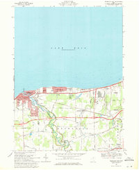
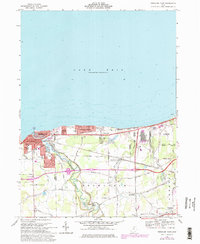
Editions of this 1969 Vermilion East Map
Other maps of this area

1901 · Oberlin
USGS Topo · 1:62,500

1903 · Vermilion
USGS Topo · 1:62,500

1903 · Oberlin
USGS Topo · 1:62,500

1956 · Toledo
USGS Topo · 1:250,000

1959 · Berlin Heights
USGS Topo · 1:24,000

1959 · Vermilion East
USGS Topo · 1:24,000

1959 · Vermilion West
USGS Topo · 1:24,000

1959 · Kipton
USGS Topo · 1:24,000

1960 · Oberlin
USGS Topo · 1:24,000
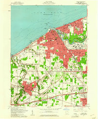
1960 · Lorain
USGS Topo · 1:24,000