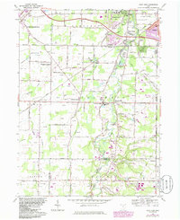
1963 Map of West View
USGS Topo · Published 1985About this map
West Branch Rocky River defines the eastern corridor of this landscape, meandering through a region where suburban expansion from Berea and Olmsted Falls meets the rural townships of Columbia and Eaton. The map illustrates a mid-century infrastructure in transition, anchored by the Ohio Toll Road Turnpike in the north and the industrial presence of the Conrail and Baltimore and Ohio railroads. Small, established settlements like Columbia Station and Hardscrabble are visible alongside local aviation markers such as Columbia Airport and a separate Landing Strip. Local genealogy is well-represented through landmarks like Myrtle Cemetery and St Marys Cemetery, while the proliferation of leisure sites like Columbia Hills Golf Club and Riverside Golf Club suggests the post-war shift toward residential recreation. Numerous gas wells dot the western sections of the quadrangle, indicating the active extraction industry alongside traditional farming acreage.
Find a feature on this map
64 named features on this map. Tap any name to fly to it.
Don’t see what you’re looking for? This feature index may not catch every label — zoom into the map to look around manually.
Map Details
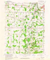
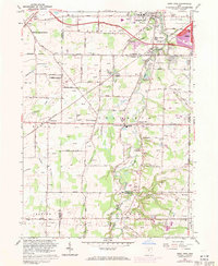
Editions of this 1963 West View Map
3 editions found
Other maps of this area

1901 · Oberlin
USGS Topo · 1:62,500

1902 · Berea
USGS Topo · 1:62,500

1903 · Oberlin
USGS Topo · 1:62,500

1904 · Berea
USGS Topo · 1:62,500

1904 · Medina
USGS Topo · 1:62,500

1904 · Wellington
USGS Topo · 1:62,500

1906 · Medina
USGS Topo · 1:62,500

1906 · Wellington
USGS Topo · 1:62,500

1950 · Cleveland
USGS Topo · 1:250,000

1953 · West View
USGS Topo · 1:24,000