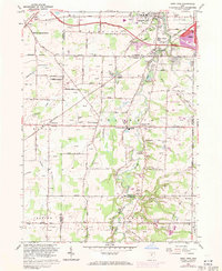
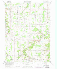
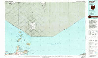
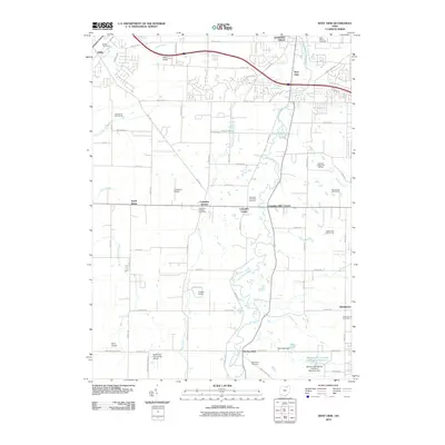
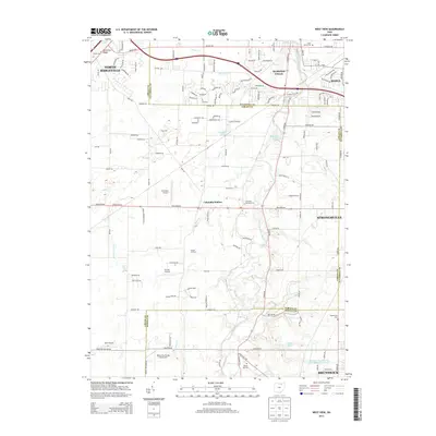
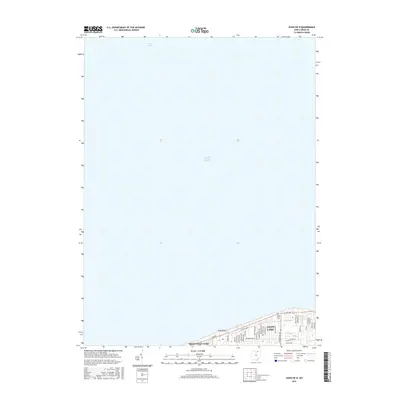
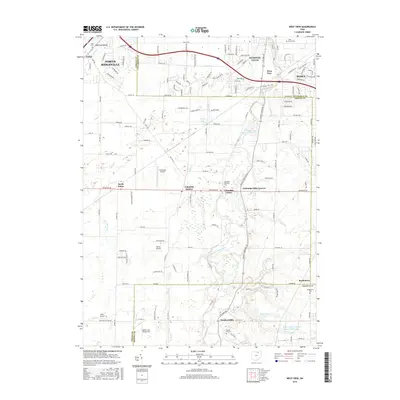
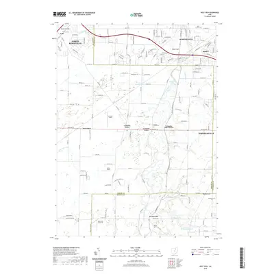
1963 Map of West View
USGS Topo · Published 1971About this map
Butternut Ridge and the West Branch Rocky River dominate this landscape where suburban expansion begins to meet the established agriculture of Lorain and Cuyahoga counties. The presence of numerous gas wells across the central townships indicates the active extraction industry during the early 1960s, while the Ohio Toll Road Turnpike bisects the northern section, signaling a shift toward modern highway transit. Smaller rural centers like Columbia Station and Hardscrabble retain their distinct footprints amidst a network of country roads including Bagley Road and Royalton Road.
Find a feature on this map
64 named features on this map. Tap any name to fly to it.
Don’t see what you’re looking for? This feature index may not catch every label — zoom into the map to look around manually.
Map Details
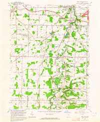
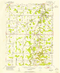
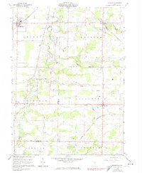
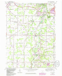
Editions of this 1963 West View Map
3 editions found
Historical Maps of Strongsville Through Time
33 maps found
1953 West View
Lorain County, OH
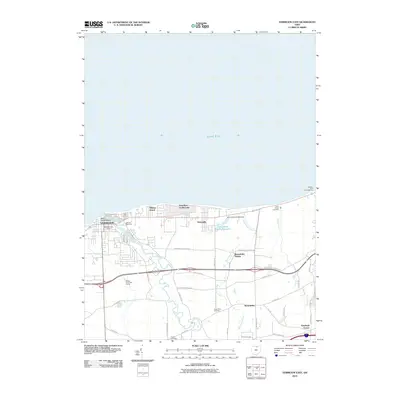
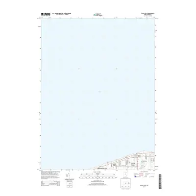
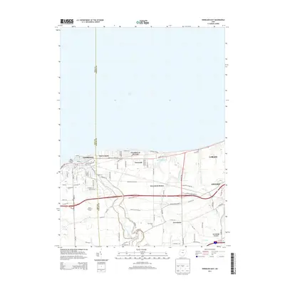
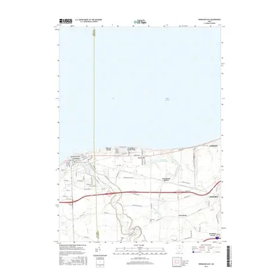
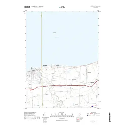
1959 Vermilion East
Lorain County, OH
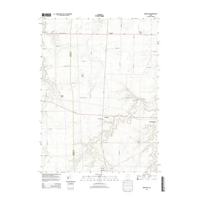
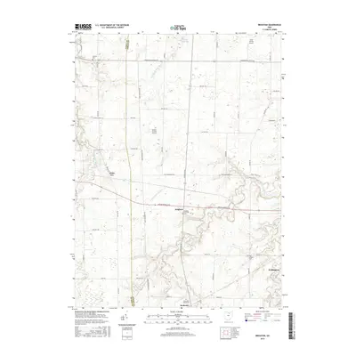
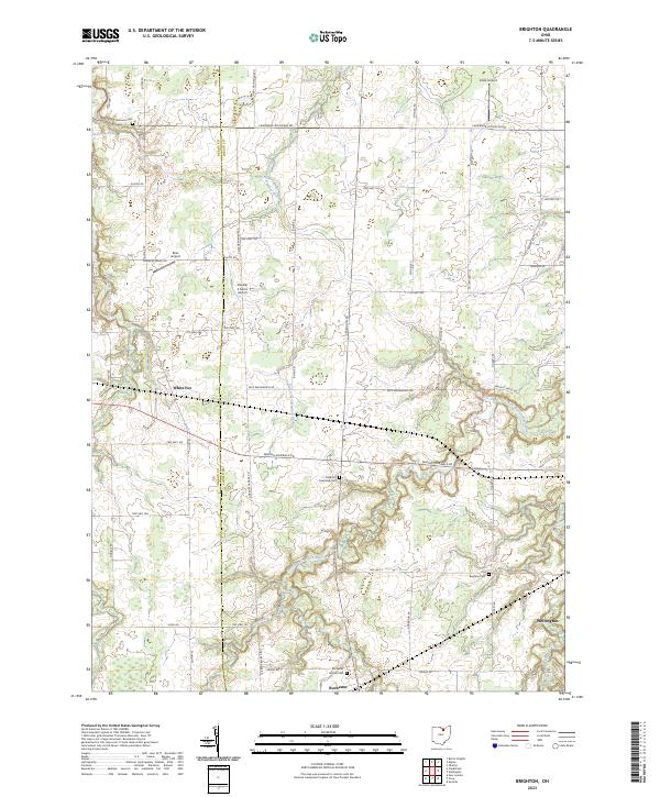
1960 Brighton
Lorain County, OH
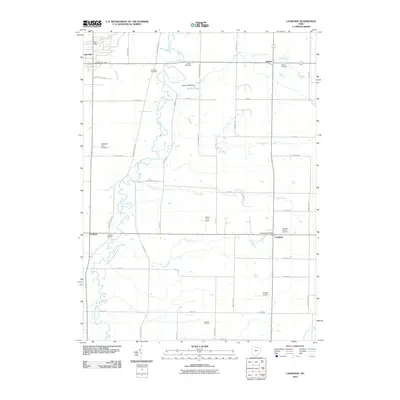
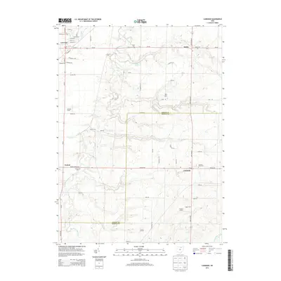
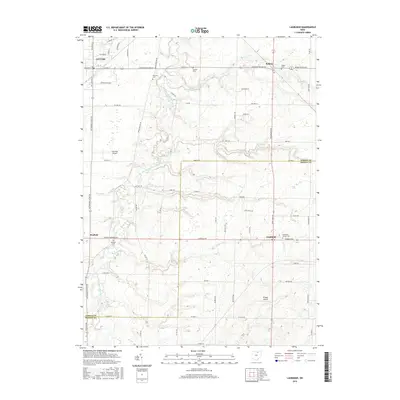
1960 Lagrange
Lorain County, OH
1963 West View
Lorain County, OH
1969 Vermilion East
Lorain County, OH
1986 Put-In-Bay
Lorain County, OH
1994 West View
Lorain County, OH
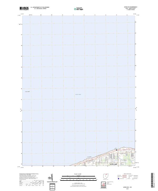
2010 Avon OE N
Lorain County, OH
2010 Brighton
Lorain County, OH
2010 Lagrange
Lorain County, OH
2010 Vermilion East
Lorain County, OH
2010 West View
Lorain County, OH
2013 Avon OE N
Lorain County, OH
2013 Brighton
Lorain County, OH
2013 Lagrange
Lorain County, OH
2013 Vermilion East
Lorain County, OH
2013 West View
Lorain County, OH
2016 Avon OE N
Lorain County, OH
2016 Brighton
Lorain County, OH
2016 Lagrange
Lorain County, OH
2016 Vermilion East
Lorain County, OH
2016 West View
Lorain County, OH
2019 Avon OE N
Lorain County, OH
2019 Brighton
Lorain County, OH
2019 Lagrange
Lorain County, OH
2019 Vermilion East
Lorain County, OH
2019 West View
Lorain County, OH
2023 Avon OE N
Lorain County, OH
2023 Brighton
Lorain County, OH
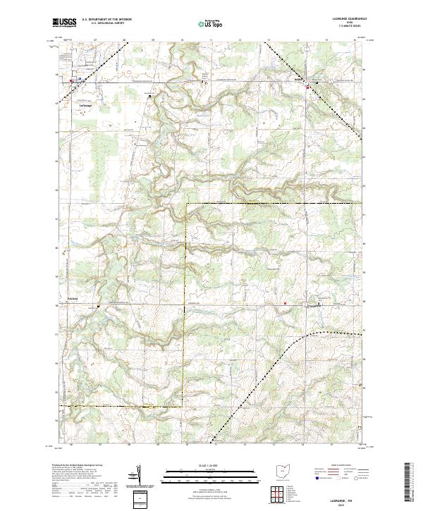
2023 Lagrange
Lorain County, OH
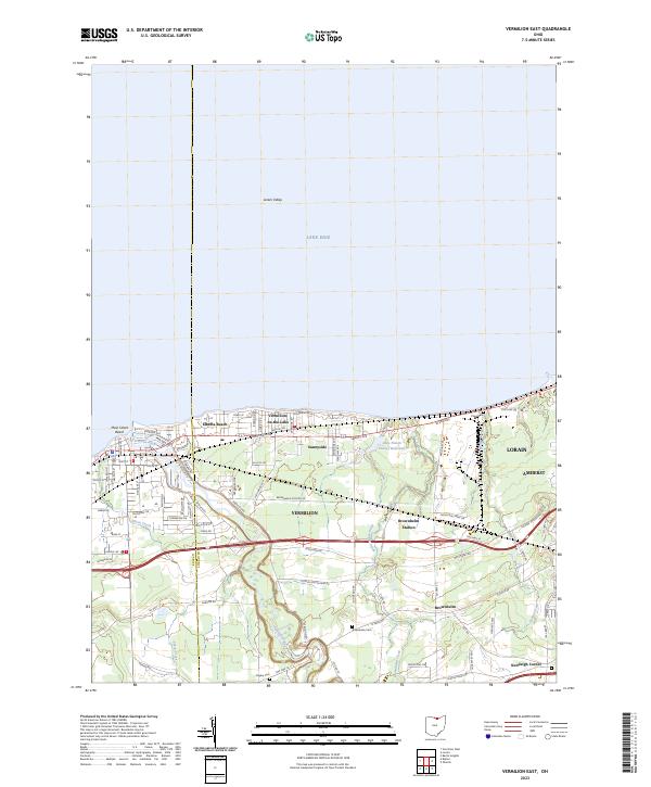
2023 Vermilion East
Lorain County, OH
2023 West View
Lorain County, OH