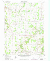
1960 Map of Brighton
USGS Topo · Published 1974About this map
The Brighton area of rural Lorain County centers on a landscape defined by the drainage systems of the Vermilion River to the northwest and the West Branch Black River to the southeast. At the start of the 1960s, this region remained predominantly agricultural, punctuated by small community centers like Rochester and the smaller crossroads of White Fox and Zenobia. The presence of the Norfolk and Western and Penn Central rail lines highlights the transportation corridors that historically supported these rural townships. A localized Quarry and the Kipton Reservoir indicate how the natural resources of the area were managed and utilized. This survey, updated with 1973 photogrammetric data, captures the transition of the Lorain and Huron county line before the expansion of modern infrastructure further altered these farming communities.
Find a feature on this map
41 named features on this map. Tap any name to fly to it.
Don’t see what you’re looking for? This feature index may not catch every label — zoom into the map to look around manually.
Map Details
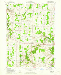
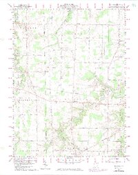
Editions of this 1960 Brighton Map
3 editions found
Other maps of this area

1901 · Oberlin
USGS Topo · 1:62,500

1903 · Vermilion
USGS Topo · 1:62,500

1903 · Oberlin
USGS Topo · 1:62,500

1904 · Wellington
USGS Topo · 1:62,500

1906 · Wellington
USGS Topo · 1:62,500

1908 · New London
USGS Topo · 1:62,500

1956 · Toledo
USGS Topo · 1:250,000

1959 · Berlin Heights
USGS Topo · 1:24,000

1959 · Kipton
USGS Topo · 1:24,000

1960 · Oberlin
USGS Topo · 1:24,000