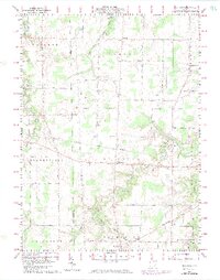
1960 Map of Brighton
USGS Topo · Published 1974About this map
The West Branch Black River and its various tributaries carve a winding path through this rural landscape on the border of Lorain and Huron Counties. Small agricultural centers like Brighton and Rochester serve as local anchors, while the Norfolk and Western and Penn Central rail lines cross the terrain, illustrating the transit corridor's importance to the regional economy. The map reveals a high density of named country roads, such as Ferry Road and Zenobia Road, which suggest long-established property lines and family holdings.
Find a feature on this map
53 named features on this map. Tap any name to fly to it.
Don’t see what you’re looking for? This feature index may not catch every label — zoom into the map to look around manually.
Map Details
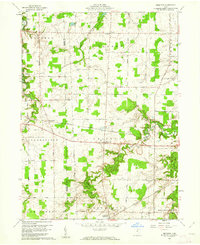
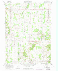
Editions of this 1960 Brighton Map
3 editions found
Other maps of this area

1901 · Oberlin
USGS Topo · 1:62,500

1903 · Vermilion
USGS Topo · 1:62,500

1903 · Oberlin
USGS Topo · 1:62,500

1904 · Wellington
USGS Topo · 1:62,500

1906 · Wellington
USGS Topo · 1:62,500

1908 · New London
USGS Topo · 1:62,500

1956 · Toledo
USGS Topo · 1:250,000

1959 · Berlin Heights
USGS Topo · 1:24,000

1959 · Kipton
USGS Topo · 1:24,000

1960 · Oberlin
USGS Topo · 1:24,000